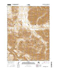
2016 Map of Ambler River C-3 SE
USGS Topo · Published 2016About this map
Noatak National Preserve encompasses a significant portion of this Arctic landscape, where the northern wilderness remains shaped by its ancient drainage systems. The survey detail focuses on the upper reaches of the Redstone River, which meanders across the southern half of the sheet, and its tributary, the Imelyak River, flowing from the north. This area of the Northwest Arctic Borough is defined by these isolated river corridors, which have long served as vital navigational landmarks in a region devoid of permanent road infrastructure or settlements. The topographic data reveals a complex network of high ridges and narrow valleys, illustrating the transition from the high Brooks Range foothills toward the lower river basins. This map serves as a primary record of the hydrological patterns and land management boundaries within one of the most protected and least altered ecosystems in Alaska.
Find a feature on this map
9 named features on this map. Tap any name to fly to it.
Don’t see what you’re looking for? This feature index may not catch every label — zoom into the map to look around manually.
Map Details
Editions of this 2016 Ambler River C-3 SE Map
This is the sole edition of this map. No revisions or reprints were ever made.
Other maps of this area

1951 · Ambler River
USGS Topo · 1:250,000

1956 · Ambler River
USGS Topo · 1:250,000

1964 · Ambler River
USGS Topo · 1:250,000
1990 · Ambler River B-3
USGS Topo · 1:63,360
1990 · Ambler River B-2
USGS Topo · 1:63,360
1990 · Ambler River C-2
USGS Topo · 1:63,360
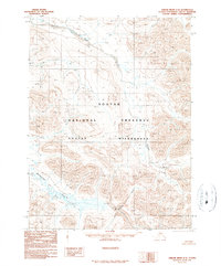
1990 · Ambler River C-3
USGS Topo · 1:63,360
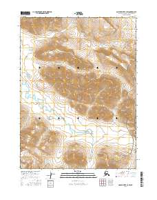
2016 · Ambler River C-3 SW
USGS Topo · 1:25,000
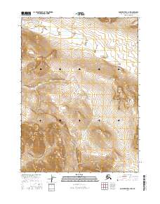
2016 · Ambler River C-3 NW
USGS Topo · 1:25,000
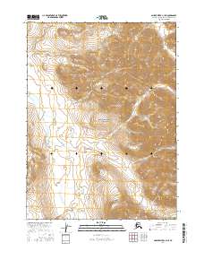
2016 · Ambler River C-3 NE
USGS Topo · 1:25,000