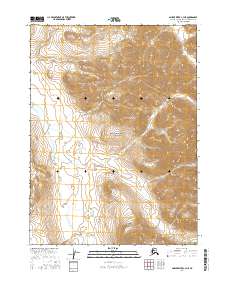
2016 Map of Ambler River C-3 NE
USGS Topo · Published 2016About this map
The Schwatka Mountains dominate this 2016 survey of a remote Alaskan interior, where high ridgelines and steep drainage basins define the northern wilderness. Centered within the Noatak National Preserve, the landscape is primarily shaped by the headwaters and tributaries of the Imelyak River, which winds through the southwestern portion of the quadrangle. The map reveals a land defined by natural boundaries and the Public Land Survey System, including the intersection of t27n r7e, t27n r8e, t26n r7e, and t26n r8e. This area remains largely untouched by modern infrastructure, preserving the original terrain character of the Arctic Northwest as it has existed for generations.
Find a feature on this map
7 named features on this map. Tap any name to fly to it.
Don’t see what you’re looking for? This feature index may not catch every label — zoom into the map to look around manually.
Map Details
Editions of this 2016 Ambler River C-3 NE Map
This is the sole edition of this map. No revisions or reprints were ever made.
Other maps of this area

1951 · Ambler River
USGS Topo · 1:250,000

1956 · Ambler River
USGS Topo · 1:250,000

1964 · Ambler River
USGS Topo · 1:250,000
1990 · Ambler River D-2
USGS Topo · 1:63,360
1990 · Ambler River C-2
USGS Topo · 1:63,360
1990 · Ambler River D-3
USGS Topo · 1:63,360
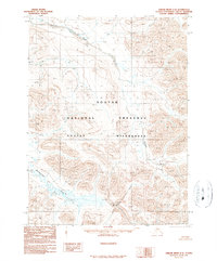
1990 · Ambler River C-3
USGS Topo · 1:63,360
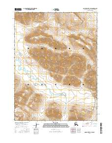
2016 · Ambler River C-3 SW
USGS Topo · 1:25,000
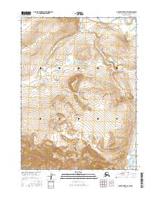
2016 · Ambler River D-2 SW
USGS Topo · 1:25,000
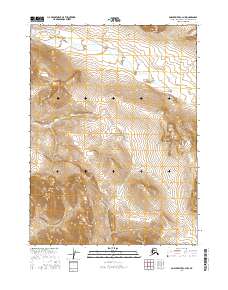
2016 · Ambler River C-3 NW
USGS Topo · 1:25,000