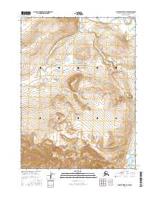
2016 Map of Ambler River D-2 SW
USGS Topo · Published 2016About this map
Noatak National Preserve encompasses the central portion of this Arctic landscape, where the high-latitude terrain is defined by the drainage patterns of the Noatak River. Flowing across the northern section of the map, the river serves as the primary hydrological artery, fed by the winding course of Kavachurak Creek (also labeled Kavachurak Cr) as it descends through the southeastern and eastern townships. The map illustrates a largely roadless wilderness within the Northwest Arctic Borough, where the topography is dominated by steep mountain ridges and deep valleys. These features demonstrate the complex geomorphology of the region, where seasonal water flow and subarctic conditions dictate the movement of water from the heights of the preserve down toward the primary river channel.
Find a feature on this map
10 named features on this map. Tap any name to fly to it.
Don’t see what you’re looking for? This feature index may not catch every label — zoom into the map to look around manually.
Map Details
Editions of this 2016 Ambler River D-2 SW Map
This is the sole edition of this map. No revisions or reprints were ever made.
Other maps of this area

1951 · Ambler River
USGS Topo · 1:250,000

1956 · Ambler River
USGS Topo · 1:250,000

1964 · Ambler River
USGS Topo · 1:250,000
1990 · Ambler River D-2
USGS Topo · 1:63,360
1990 · Ambler River C-2
USGS Topo · 1:63,360
1990 · Ambler River D-3
USGS Topo · 1:63,360
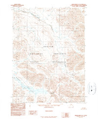
1990 · Ambler River C-3
USGS Topo · 1:63,360
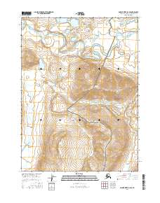
2016 · Ambler River D-2 SE
USGS Topo · 1:25,000
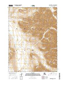
2016 · Ambler River C-3 NE
USGS Topo · 1:25,000
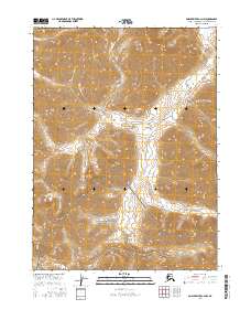
2016 · Ambler River C-2 NW
USGS Topo · 1:25,000