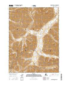
2016 Map of Ambler River C-2 NW
USGS Topo · Published 2016About this map
Gates of the Arctic National Park and the Noatak National Preserve meet in this wilderness area, where high-altitude ridge lines and drainages form a dramatic continental threshold. This 2016 survey documents the headwaters of Kavachurak Creek as it carves through the topographic contours of the Brooks Range, illustrating the complex hydrology of the Arctic. The map is defined by the intersection of four townships, including t27n r9e and t26n r8e, providing a precise look at the jurisdictional boundaries within these protected federal lands. For researchers and geographers, the detailed contour intervals offer a clear picture of the landforms that dictate the movement of water and wildlife in this high-latitude environment.
Find a feature on this map
8 named features on this map. Tap any name to fly to it.
Don’t see what you’re looking for? This feature index may not catch every label — zoom into the map to look around manually.
Map Details
Editions of this 2016 Ambler River C-2 NW Map
This is the sole edition of this map. No revisions or reprints were ever made.
Other maps of this area

1951 · Ambler River
USGS Topo · 1:250,000

1956 · Ambler River
USGS Topo · 1:250,000

1964 · Ambler River
USGS Topo · 1:250,000
1990 · Ambler River D-2
USGS Topo · 1:63,360
1990 · Ambler River C-2
USGS Topo · 1:63,360
1990 · Ambler River D-3
USGS Topo · 1:63,360
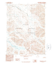
1990 · Ambler River C-3
USGS Topo · 1:63,360
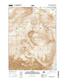
2016 · Ambler River D-2 SW
USGS Topo · 1:25,000
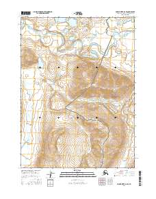
2016 · Ambler River D-2 SE
USGS Topo · 1:25,000
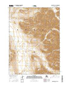
2016 · Ambler River C-3 NE
USGS Topo · 1:25,000