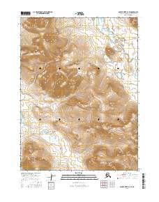
2016 Map of Ambler River C-4 SE
USGS Topo · Published 2016About this map
Noatak National Preserve encompasses the heart of this Alaskan interior landscape, a high-latitude wilderness defined by stark topographic relief and significant waterways. The northern reach of the map is dominated by the course of Amakomanak Creek, which winds through the eastern valleys, while the southern quadrant is defined by the Cutler River. The absence of roads, settlements, or infrastructure reflects the protected and primitive character of this part of the Noatak National Preserve. Precise elevation contours illustrate the steep mountain drainages and high ridges that separate these two primary drainage systems, offering a clear view of the natural corridors used by migratory wildlife and indigenous travelers through the Brooks Range foothills.
Find a feature on this map
9 named features on this map. Tap any name to fly to it.
Don’t see what you’re looking for? This feature index may not catch every label — zoom into the map to look around manually.
Map Details
Editions of this 2016 Ambler River C-4 SE Map
This is the sole edition of this map. No revisions or reprints were ever made.
Other maps of this area

1951 · Ambler River
USGS Topo · 1:250,000

1956 · Ambler River
USGS Topo · 1:250,000

1964 · Ambler River
USGS Topo · 1:250,000
1990 · Ambler River B-3
USGS Topo · 1:63,360
1990 · Ambler River B-4
USGS Topo · 1:63,360
1990 · Ambler River C-4
USGS Topo · 1:63,360
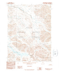
1990 · Ambler River C-3
USGS Topo · 1:63,360
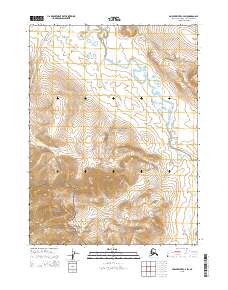
2015 · Ambler River C-4 SW
USGS Topo · 1:25,000
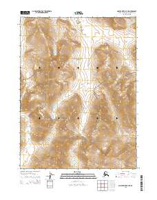
2015 · Ambler River B-4 NE
USGS Topo · 1:25,000
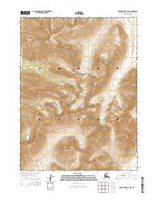
2015 · Ambler River B-4 NW
USGS Topo · 1:25,000