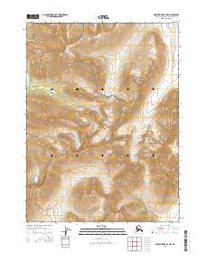
2015 Map of Ambler River B-4 NW
USGS Topo · Published 2015About this map
The Noatak National Preserve and Kobuk Valley National Park meet in this 2015 survey of the Northwest Arctic, revealing a landscape defined by its remote river systems and high-latitude topography. This map serves as a vital record of the border between two major wilderness areas, where the terrain shifts toward the drainage of the Akilik River in the west and the meandering paths of Nuna Cr and Miluet Cr in the south and east. Unlike many areas with extensive road networks or settlements, this quadrangle highlights the intersection of Township lines such as t24n r4e and t24n r5e, which organize this vast expanse of public land. The absence of modern development underscores the preservation of these Arctic ecosystems, providing researchers and conservationists with a clear view of the natural hydrology and land divisions within these protected national grounds.
Find a feature on this map
9 named features on this map. Tap any name to fly to it.
Don’t see what you’re looking for? This feature index may not catch every label — zoom into the map to look around manually.
Map Details
Editions of this 2015 Ambler River B-4 NW Map
This is the sole edition of this map. No revisions or reprints were ever made.
Other maps of this area

1951 · Ambler River
USGS Topo · 1:250,000

1956 · Ambler River
USGS Topo · 1:250,000

1964 · Ambler River
USGS Topo · 1:250,000
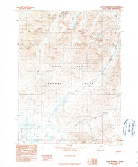
1990 · Ambler River B-5
USGS Topo · 1:63,360
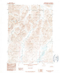
1990 · Ambler River B-4
USGS Topo · 1:63,360
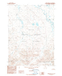
1990 · Ambler River C-5
USGS Topo · 1:63,360
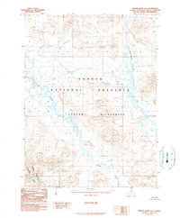
1990 · Ambler River C-4
USGS Topo · 1:63,360
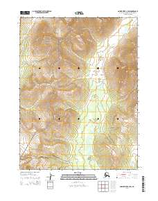
2015 · Ambler River B-4 SW
USGS Topo · 1:25,000
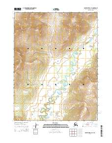
2015 · Ambler River B-4 SE
USGS Topo · 1:25,000
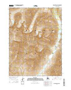
2015 · Ambler River B-5 NE
USGS Topo · 1:25,000