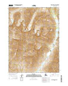
2015 Map of Ambler River B-5 NE
USGS Topo · Published 2015About this map
Kobuk Valley National Park dominates this sub-Arctic landscape, capturing a segment of the wilderness where the Baird Mountains define the interior terrain. The topography is shaped by the winding course of the Akillik River, which meanders through the northeast and southeast corners of the quadrangle, carving through high-elevation ridges.
Find a feature on this map
7 named features on this map. Tap any name to fly to it.
Don’t see what you’re looking for? This feature index may not catch every label — zoom into the map to look around manually.
Map Details
Editions of this 2015 Ambler River B-5 NE Map
This is the sole edition of this map. No revisions or reprints were ever made.
Other maps of this area

1951 · Ambler River
USGS Topo · 1:250,000

1956 · Ambler River
USGS Topo · 1:250,000

1964 · Ambler River
USGS Topo · 1:250,000
1990 · Ambler River B-5
USGS Topo · 1:63,360
1990 · Ambler River B-4
USGS Topo · 1:63,360
1990 · Ambler River C-5
USGS Topo · 1:63,360
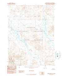
1990 · Ambler River C-4
USGS Topo · 1:63,360
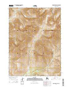
2015 · Ambler River B-5 NW
USGS Topo · 1:25,000
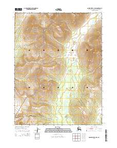
2015 · Ambler River B-4 SW
USGS Topo · 1:25,000
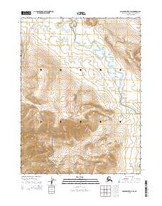
2015 · Ambler River C-4 SW
USGS Topo · 1:25,000