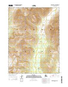
2015 Map of Ambler River B-4 SW
USGS Topo · Published 2015About this map
Kobuk Valley National Park dominates the western portion of this topographic study, where the high-altitude contours and sharp ridgelines of Northwest Arctic Alaska are meticulously documented. The landscape is defined by its drainages, primarily the winding course of Miluet Cr which flows southward through the central and eastern sections, and Nuna Cr visible in the far northwestern corner. This 2015 edition provides a clear record of the high-country terrain before recent environmental shifts, charting the elevation from valley floors to peaks surpassing 2,400 feet. The map provides precise detail for the Public Land Survey System, marking the intersections of t23n r4e, t22n r4e, and adjacent townships, which is essential for identifying specific land tracts and boundaries within this protected wilderness area.
Find a feature on this map
9 named features on this map. Tap any name to fly to it.
Don’t see what you’re looking for? This feature index may not catch every label — zoom into the map to look around manually.
Map Details
Editions of this 2015 Ambler River B-4 SW Map
This is the sole edition of this map. No revisions or reprints were ever made.
Other maps of this area

1951 · Ambler River
USGS Topo · 1:250,000

1955 · Ambler River A-4
USGS Topo · 1:63,360

1955 · Ambler River A-5
USGS Topo · 1:63,360

1956 · Ambler River
USGS Topo · 1:250,000

1964 · Ambler River
USGS Topo · 1:250,000
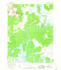
1966 · Ambler River A-4
USGS Topo · 1:63,360
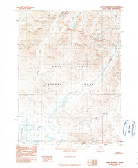
1990 · Ambler River B-5
USGS Topo · 1:63,360
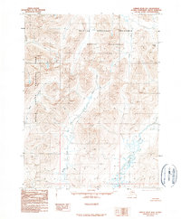
1990 · Ambler River B-4
USGS Topo · 1:63,360
2015 · Ambler River A-4 NE
USGS Topo · 1:25,000
2015 · Ambler River B-4 SE
USGS Topo · 1:25,000