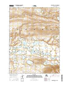
2016 Map of Ambler River D-3 NE
USGS Topo · Published 2016About this map
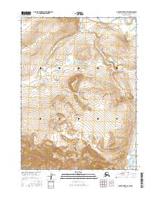
Noatak National Preserve encompasses the vast majority of this landscape in the Northwest Arctic Borough, where the braided channels of the Noatak River dominate the central valley. The topography illustrates a complex riparian environment of wetlands and small lakes along the river's path, flanked by high ground that rises toward the north and south. In the northeastern corner, Atongarak Cr flows through the highlands, providing a distinct drainage route toward the primary river basin. This survey documents the raw geography of the Arctic wilderness, emphasizing the natural hydrography and elevation contours that define travel and subsistence patterns in this remote region of Alaska.
Find a feature on this map
7 named features on this map. Tap any name to fly to it.
Don’t see what you’re looking for? This feature index may not catch every label — zoom into the map to look around manually.
Map Details
Editions of this 2016 Ambler River D-3 NE Map
This is the sole edition of this map. No revisions or reprints were ever made.
Other maps of this area

1951 · Howard Pass
USGS Topo · 1:250,000

1951 · Ambler River
USGS Topo · 1:250,000

1956 · Howard Pass
USGS Topo · 1:250,000

1956 · Ambler River
USGS Topo · 1:250,000

1964 · Ambler River
USGS Topo · 1:250,000
1984 · Howard Pass A-2
USGS Topo · 1:63,360

1984 · Howard Pass A-3
USGS Topo · 1:63,360
1990 · Ambler River D-2
USGS Topo · 1:63,360
1990 · Ambler River D-3
USGS Topo · 1:63,360
2016 · Ambler River D-2 SW
USGS Topo · 1:25,000