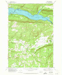
1971 Map of Amboy
USGS Topo · Published 1973About this map
The Lewis River corridor and the high ground of Green Mountain define this early 1970s survey of Clark and Cowlitz counties. Centered on the settlement of Amboy, the landscape transitions from the broad, flat Chelatchie Prairie to the impounded waters of Lake Merwin. The map documents a period of active timber and land management, indicated by the network of mountain trails and the presence of the Ranger Station and Landing Strip near Chelatchie. To the north, the inundation of the river valley is marked by the presence of Woodland Park and a Fish Hatchery along the shoreline. Further evidence of local industry is seen in several prospects, a Quarry, and a Gravel Pit scattered across the hillsides, while numerous named roads like Eaton Road and Columbia Tie Road connect the small farms and homesteads of the region.
Find a feature on this map
49 named features on this map. Tap any name to fly to it.
Don’t see what you’re looking for? This feature index may not catch every label — zoom into the map to look around manually.
Map Details
Editions of this 1971 Amboy Map
2 editions found
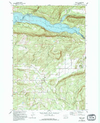
Other maps of this area

1919 · Mount St Helens
USGS Topo · 1:125,000

1940 · La Center
USGS Topo · 1:62,500

1941 · Yacolt
USGS Topo · 1:62,500

1943 · Pigeon Springs
USGS Topo · 1:62,500

1948 · Vancouver
USGS Topo · 1:250,000

1950 · Vancouver
USGS Topo · 1:250,000

1950 · Vancouver
USGS Topo · 1:250,000

1953 · Hoquiam
USGS Topo · 1:250,000

1953 · Pigeon Springs
USGS Topo · 1:62,500

1953 · Cougar
USGS Topo · 1:62,500