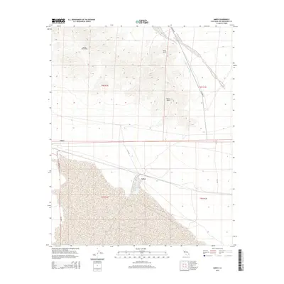
2015 Map of Amboy
USGS Topo · Published 2015About this map
Amboy serves as the primary focal point of this arid landscape, situated along the southern edge of the Bristol Mountains. This region of the Mojave Desert is characterized by vast alluvial fans and rugged terrain, with Windy Point marking a prominent topographic rise to the northeast. To the east, the small settlement of Saltus lies near the rail corridor, connected by Saltus Rd. The map illustrates the specialized infrastructure required for desert travel, featuring long straight stretches of Amboy Rd and the Amboy Cutoff. Drainage patterns are clearly defined by features like Orange Blossom Wash, which cuts across the basin toward the south. The southern half of the sheet is dominated by extensive salt flats and dry lake beds, emphasizing the extreme environment of this San Bernardino County interior.
Find a feature on this map
15 named features on this map. Tap any name to fly to it.
Don’t see what you’re looking for? This feature index may not catch every label — zoom into the map to look around manually.
Map Details
Editions of this 2015 Amboy Map
This is the sole edition of this map. No revisions or reprints were ever made.
Other maps of this area

1942 · Amboy
USGS Topo · 1:250,000

1943 · Amboy
USGS Topo · 1:250,000

1954 · Needles
USGS Topo · 1:250,000

1954 · Bristol Lake NW
USGS Topo · 1:24,000

1954 · Amboy Crater
USGS Topo · 1:24,000

1955 · Lead Mtn. NE
USGS Topo · 1:24,000

1955 · Lead Mountain
USGS Topo · 1:62,500

1956 · Needles
USGS Topo · 1:250,000

1956 · Bristol Lake
USGS Topo · 1:62,500

1956 · Cadiz
USGS Topo · 1:62,500