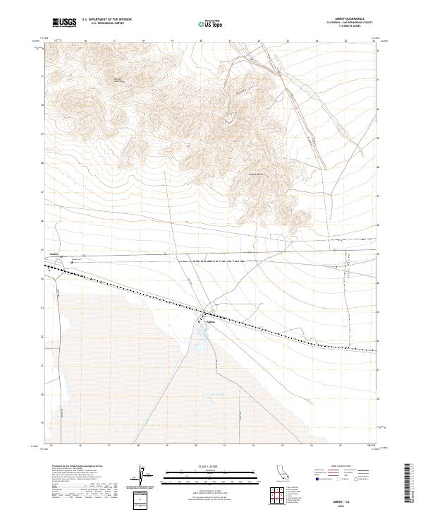
2021 Map of Amboy
USGS Topo · Published 2021About this map
Amboy serves as a stark desert waypoint where the southern edge of the Bristol Mountains meets the expansive Mojave Desert. This 2021 study illustrates the isolation of the Eastern Mojave landscape, dominated by the shimmering expanse of Bristol Lake and the long, straight corridors of Amboy Rd and Kelbaker Rd. The settlement pattern is sparse, centered on the historic rail-side sites of Amboy and Saltus, with the quiet Amboy Cem providing a poignant genealogical anchor to the region's mid-century peak.
Find a feature on this map
16 named features on this map. Tap any name to fly to it.
Don’t see what you’re looking for? This feature index may not catch every label — zoom into the map to look around manually.
Map Details
Editions of this 2021 Amboy Map
This is the sole edition of this map. No revisions or reprints were ever made.
Other maps of this area

1942 · Amboy
USGS Topo · 1:250,000

1943 · Amboy
USGS Topo · 1:250,000

1954 · Needles
USGS Topo · 1:250,000

1954 · Bristol Lake NW
USGS Topo · 1:24,000

1954 · Amboy Crater
USGS Topo · 1:24,000

1955 · Lead Mtn. NE
USGS Topo · 1:24,000

1955 · Lead Mountain
USGS Topo · 1:62,500

1956 · Needles
USGS Topo · 1:250,000

1956 · Bristol Lake
USGS Topo · 1:62,500

1956 · Cadiz
USGS Topo · 1:62,500