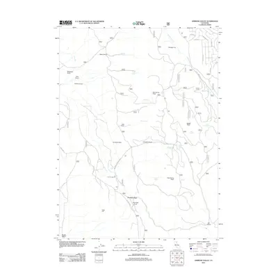
2012 Map of Ambrose Valley
USGS Topo · Published 2012About this map
Ambrose Valley and the surrounding Lassen County uplands are defined by a network of seasonal water sources and steep drainages. Named family locations such as Dan Ryan Place and Scotty Place suggest a history of localized settlement and ranching in a landscape where water is the most critical resource. These sites are linked by rugged thoroughfares like Ash Valley Rd and Ash Creek Campground Rd, which provides access to the Ash Creek Campground.
Find a feature on this map
38 named features on this map. Tap any name to fly to it.
Don’t see what you’re looking for? This feature index may not catch every label — zoom into the map to look around manually.
Map Details
Editions of this 2012 Ambrose Valley Map
This is the sole edition of this map. No revisions or reprints were ever made.
Other maps of this area
1886 · Alturas
USGS Topo · 1:250,000
1892 · Alturas
USGS Topo · 1:250,000
1954 · Alturas
USGS Topo · 1:250,000
1958 · Alturas
USGS Topo · 1:250,000
1961 · Canby
USGS Topo · 1:62,500
1961 · Alturas
USGS Topo · 1:62,500
1962 · Alturas
USGS Topo · 1:250,000
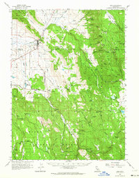
1962 · Adin
USGS Topo · 1:62,500
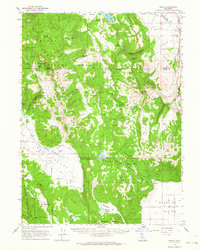
1962 · Likely
USGS Topo · 1:62,500
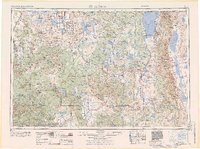
1965 · Alturas
USGS Topo · 1:250,000