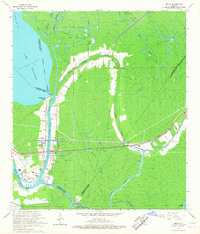
1966 Map of Amelia
USGS Topo · Published 1967About this map
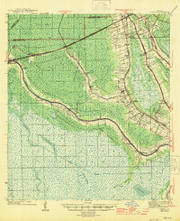
The settlement of Amelia serves as a hub for the southern Louisiana delta's intricate water and rail networks in the mid-1960s. Located along the Bayou Boeuf, the area is defined by its industrial reliance on the Amelia Gas Field and the Ramos Gas Field, where numerous oil wells and drill holes pepper the marshy terrain. The Southern Pacific railroad provides a firm east-west spine through the wetlands, crossing the Lake Bridge near Ursa. Cultural landmarks like St Andrews Cem and an Indian Mound provide a sense of local history amidst the shifting waterways of Bayou L'Ourse and Bayou Black. The landscape is a complex intersection of political boundaries, where the corners of Assumption, St. Martin, St. Mary, Terrebonne, and Lafourche Parishes meet in the swampy interior east of Lake Palourde.
Find a feature on this map
42 named features on this map. Tap any name to fly to it.
Don’t see what you’re looking for? This feature index may not catch every label — zoom into the map to look around manually.
Map Details
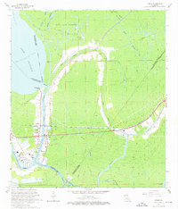
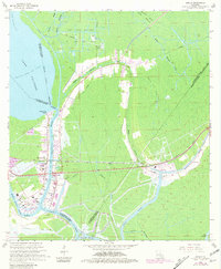
Editions of this 1966 Amelia Map
3 editions found
Other maps of this area

1892 · Gibson
USGS Topo · 1:62,500

1892 · Thibodaux
USGS Topo · 1:62,500

1897 · Gibson
USGS Topo · 1:62,500

1932 · Thibodaux SW
USGS Topo · 1:31,680

1935 · Morgan City
USGS Topo · 1:62,500

1938 · Labadieville
USGS Topo · 1:24,000

1939 · Gibson
USGS Topo · 1:62,500
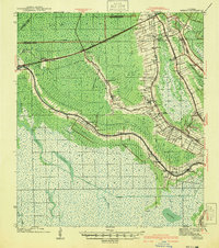
1941 · Gibson
USGS Topo · 1:62,500
1944 · Gibson
USGS Topo · 1:62,500

1945 · New Orleans
USGS Topo · 1:250,000