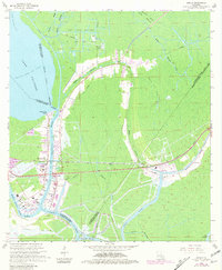
1966 Map of Amelia
USGS Topo · Published 1981About this map
Amelia sits at the heart of a complex water and energy network in this mid-1960s survey, updated with late-1970s aerial data. The landscape is defined by the convergence of the Intracostal Waterway, Bayou Boeuf, and Bayou Black, highlighting the region's historical reliance on both natural and man-made navigation. The economic character of the era is visible in the extensive Oil and Gas Field developments, including the East Lake Palourde Oil and Gas Field and the Amelia Gas Field. Transportation infrastructure is prominently featured, from the Southern Pacific railroad line to the Amelia Airport. Local heritage is anchored by sites like St Andrews Cem, Milton Cem, and a documented Indian Mound near the Bayou Black crossing. Small settlements like Boeuf, Zacarter, and Ursa dot the edges of the marshland, illustrating the scattered nature of community growth in the Atchafalaya Basin fringe.
Find a feature on this map
41 named features on this map. Tap any name to fly to it.
Don’t see what you’re looking for? This feature index may not catch every label — zoom into the map to look around manually.
Map Details
Editions of this 1966 Amelia Map
3 editions found
Other maps of this area

1892 · Gibson
USGS Topo · 1:62,500

1892 · Thibodaux
USGS Topo · 1:62,500

1897 · Gibson
USGS Topo · 1:62,500

1932 · Thibodaux SW
USGS Topo · 1:31,680

1935 · Morgan City
USGS Topo · 1:62,500

1938 · Labadieville
USGS Topo · 1:24,000

1939 · Gibson
USGS Topo · 1:62,500
1941 · Gibson
USGS Topo · 1:62,500
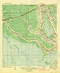
1944 · Gibson
USGS Topo · 1:62,500

1945 · New Orleans
USGS Topo · 1:250,000