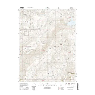
2015 Map of American House
USGS Topo · Published 2015About this map
American House and the surrounding high country of the Plumas National Forest define this landscape, where the headwaters of the Feather River system carve through the Sierra Nevada. This survey documents the complex topography and resource-driven geography of the northern California mountains. The northern reach is dominated by the Little Grass Valley Reservoir and the S Br Middle Fork Feather River, while the southern portion transitions toward the S Fork Feather River drainage. Notable mining history is evident at the Sanborn Mine, located near the intersection of several forest access routes like Lumpkin Porte Rd. The map illustrates the historic transit and settlement patterns in the vicinity of Little Grass Valley and Haskins Valley, highlighting the importance of timber and mineral extraction in this region.
Find a feature on this map
68 named features on this map. Tap any name to fly to it.
Don’t see what you’re looking for? This feature index may not catch every label — zoom into the map to look around manually.
Map Details
Editions of this 2015 American House Map
This is the sole edition of this map. No revisions or reprints were ever made.
Other maps of this area

1888 · Bidwell Bar
USGS Topo · 1:125,000

1891 · Bidwell Bar
USGS Topo · 1:125,000

1891 · Downieville
USGS Topo · 1:125,000

1893 · Bidwell Bar
USGS Topo · 1:125,000

1893 · Downieville
USGS Topo · 1:125,000

1895 · Bidwell Bar
USGS Topo · 1:125,000

1895 · Downieville
USGS Topo · 1:125,000

1896 · Downieville
USGS Topo · 1:125,000

1897 · Bidwell Bar
USGS Topo · 1:125,000

1897 · Downieville
USGS Topo · 1:125,000