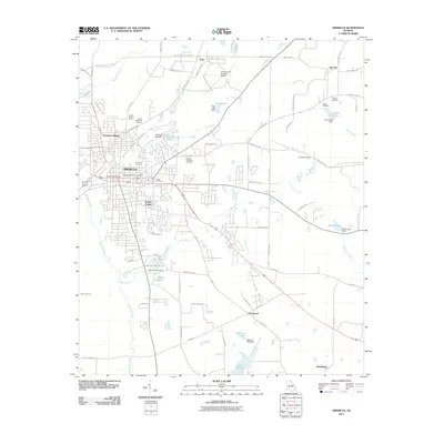
1981 Map of Americus
USGS Topo · Published 1982About this map
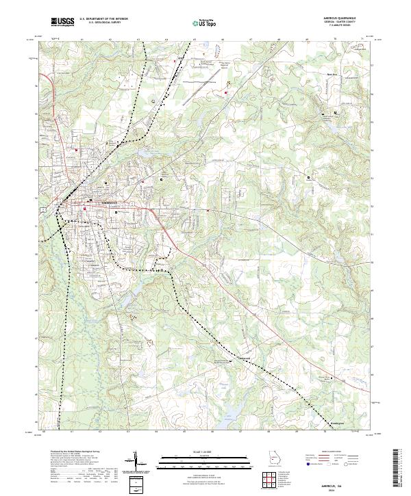
Americus serves as the focal point for this 1980s landscape, which spans a diverse cross-section of West Georgia and Eastern Alabama. The western edge is defined by the Chattahoochee River and the extensive Fort Benning Military Reservation, which borders the growing urban center of Columbus and Phenix City. Moving eastward, the map reveals a traditional agricultural and transit corridor linked by the Central of Georgia and Seaboard Coast Line railroads. Smaller agricultural communities like Plains, Andersonville, and Ellaville are interspersed with significant natural and geological features, most notably the striking formations of Providence Canyons. This era of the landscape is characterized by its reliance on these rail connections and the emerging aviation infrastructure, seen at Souther Field and Peterson Air Field. The eastern boundary is marked by the Flint River, where Montezuma and Oglethorpe sit as important riverside settlements.
Find a feature on this map
86 named features on this map. Tap any name to fly to it.
Don’t see what you’re looking for? This feature index may not catch every label — zoom into the map to look around manually.
Map Details
Editions of this 1981 Americus Map
This is the sole edition of this map. No revisions or reprints were ever made.
Historical Maps of Columbus Through Time
7 maps found