1982 Map of Ames
USGS Topo · Published 1983About this map
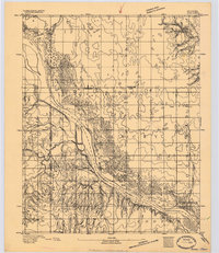
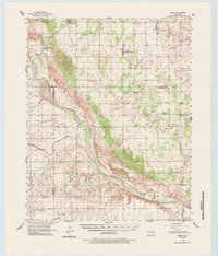
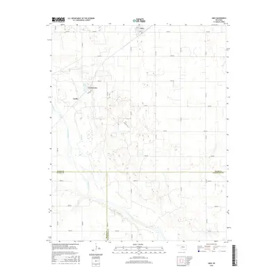
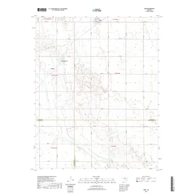
Ames serves as the central hub of this northern Oklahoma landscape, where the Burlington Northern railroad corridor meets the expansive Cimarron Oil and Gas Field. The map records a complex overlay of historical and industrial markers, most notably the Major Co Old Indian Treaty Boundary that cuts horizontally across the southern sections. This line separates the older territorial divisions from the river valley below. To the southwest, the Cimarron River winds through the Cimarron Forest, joined by drainage from Hoyle Creek and Deep Creek. This 1982 survey captures the region as a working landscape, balancing petroleum extraction with small-town infrastructure like the local Landing Strip and Radio Tower. Recreation and water management are visible at Crystal Lakes and the nearby Silver Lake, providing a detailed look at the local topography before modern developments.
Find a feature on this map
19 named features on this map. Tap any name to fly to it.
Don’t see what you’re looking for? This feature index may not catch every label — zoom into the map to look around manually.
Map Details
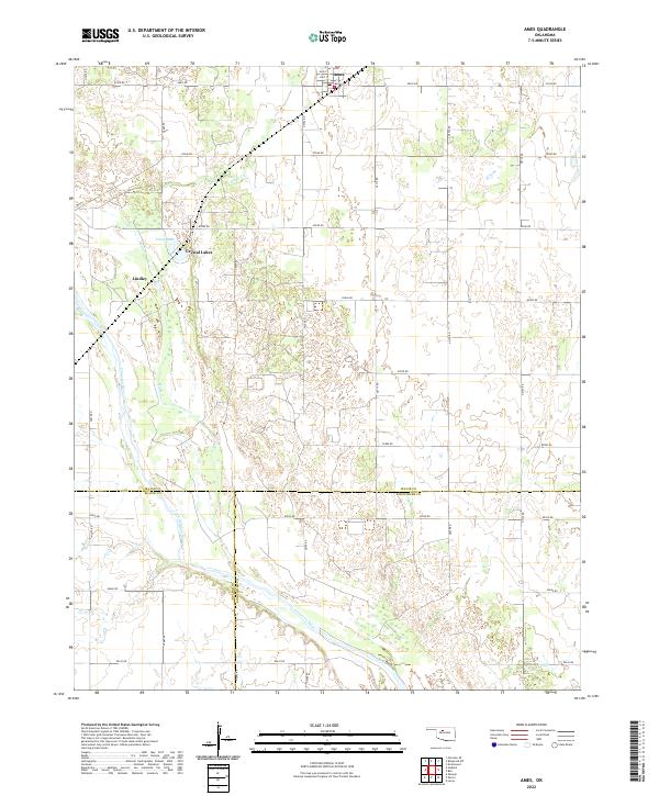
Editions of this 1982 Ames Map
This is the sole edition of this map. No revisions or reprints were ever made.
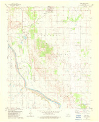
Historical Maps of Ames Through Time
8 maps found