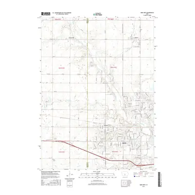
2015 Map of Ames West
USGS Topo · Published 2015About this map
Iowa State University anchors the southeastern corner of this Story County landscape, where the academic grounds meet the expanding suburban and rural fringes of Ames. The campus area features landmarks such as Laverne Lake and the College Cemetery, illustrating the long-standing integration of the institution within the community. North of the city, the small settlements of Gilbert and Ontario provide a contrast to the dense university district, maintaining their own identities with local markers like Gilbert Cemetery and Ontario Cemetery.
Find a feature on this map
163 named features on this map. Tap any name to fly to it.
Don’t see what you’re looking for? This feature index may not catch every label — zoom into the map to look around manually.
Map Details
Editions of this 2015 Ames West Map
This is the sole edition of this map. No revisions or reprints were ever made.
Other maps of this area

1911 · Madrid
USGS Topo · 1:62,500

1911 · Slater
USGS Topo · 1:62,500

1912 · Ames
USGS Topo · 1:62,500

1913 · Slater
USGS Topo · 1:62,500

1914 · Madrid
USGS Topo · 1:62,500

1914 · Ames
USGS Topo · 1:62,500

1916 · Boone
USGS Topo · 1:62,500

1954 · Waterloo
USGS Topo · 1:250,000

1954 · Des Moines
USGS Topo · 1:250,000

1955 · Waterloo
USGS Topo · 1:250,000