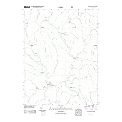
2011 Map of Amesville
USGS Topo · Published 2011About this map
Amesville and its surrounding township come into sharp focus in this detailed survey, anchored by the confluence of Federal Creek and McDougall Branch. The landscape is defined by the winding course of Sharps Fork Federal Creek, which carves through a series of named ridges and hollows such as Zion Ridge and Anderson Hollow. Genealogists and local historians will find significant value in the high density of burial sites across the quadrangle, including the curiously named Mud Sock Cemetery, Federal Hill Cemetery, and Henrys Cemetery near the village center.
Find a feature on this map
89 named features on this map. Tap any name to fly to it.
Don’t see what you’re looking for? This feature index may not catch every label — zoom into the map to look around manually.
Map Details
Editions of this 2011 Amesville Map
This is the sole edition of this map. No revisions or reprints were ever made.
Other maps of this area

1903 · Athens
USGS Topo · 1:62,500

1904 · Chesterhill
USGS Topo · 1:62,500

1905 · Athens
USGS Topo · 1:62,500

1906 · Chesterhill
USGS Topo · 1:62,500

1910 · Mc Connelsville
USGS Topo · 1:62,500

1911 · New Lexington
USGS Topo · 1:62,500

1947 · Columbus
USGS Topo · 1:250,000

1949 · Clarksburg
USGS Topo · 1:250,000

1956 · Clarksburg
USGS Topo · 1:250,000

1960 · Amesville
USGS Topo · 1:24,000