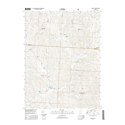
2016 Map of Amesville
USGS Topo · Published 2016About this map
Amesville serves as a central hub in this landscape where Federal Creek and Linscott Run converge. The area's agricultural and rural heritage is evident in the high density of small family and community burial grounds, such as Mud Sock Cem, Henrys Cem, and Federal Hill Cem, which dot the hillsides surrounding the main settlements. The terrain is defined by a series of prominent ridges, including Zion Ridge and Tick Ridge, which separate the various drainage basins of McElfresh Run and Sharps Fork Federal Cr. To the south, the boundary of the Wayne National Forest begins to dominate the land use, while small hamlets like Sharpsburg and Lathrop are connected by a network of winding township roads. The map illustrates a classic Appalachian Plateau settlement pattern, where homes and roads follow the narrow valley floors and gentler ridge tops.
Find a feature on this map
91 named features on this map. Tap any name to fly to it.
Don’t see what you’re looking for? This feature index may not catch every label — zoom into the map to look around manually.
Map Details
Editions of this 2016 Amesville Map
This is the sole edition of this map. No revisions or reprints were ever made.
Other maps of this area

1903 · Athens
USGS Topo · 1:62,500

1904 · Chesterhill
USGS Topo · 1:62,500

1905 · Athens
USGS Topo · 1:62,500

1906 · Chesterhill
USGS Topo · 1:62,500

1910 · Mc Connelsville
USGS Topo · 1:62,500

1911 · New Lexington
USGS Topo · 1:62,500

1947 · Columbus
USGS Topo · 1:250,000

1949 · Clarksburg
USGS Topo · 1:250,000

1956 · Clarksburg
USGS Topo · 1:250,000

1960 · Amesville
USGS Topo · 1:24,000