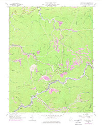
1963 Map of Amherstdale
USGS Topo · Published 1978About this map
Buffalo Creek defines the industrial and social spine of this Logan County landscape, where the Chesapeake and Ohio railroad corridor links a dense chain of coal-era settlements. In the early 1960s, the valley floor from Man through Kistler, Accoville, and Amherstdale to Latrobe hums with activity, marked by numerous strip mines, mine dumps, and a tipple. These company towns are supported by local institutions such as Buffalo Sch and Mt Olive Ch, while family and community roots are preserved at Ruffner Cem and Lowe Cem.
Find a feature on this map
74 named features on this map. Tap any name to fly to it.
Don’t see what you’re looking for? This feature index may not catch every label — zoom into the map to look around manually.
Map Details
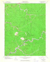
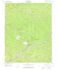
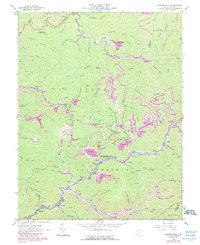
Editions of this 1963 Amherstdale Map
4 editions found
Other maps of this area

1891 · Oceana
USGS Topo · 1:125,000

1893 · Oceana
USGS Topo · 1:125,000

1898 · Oceana
USGS Topo · 1:125,000

1909 · Gilbert
USGS Topo · 1:48,000

1910 · Pineville
USGS Topo · 1:48,000

1910 · Bald Knob
USGS Topo · 1:48,000

1912 · Bald Knob
USGS Topo · 1:62,500

1912 · Gilbert
USGS Topo · 1:62,500

1912 · Pineville
USGS Topo · 1:62,500

1913 · Logan
USGS Topo · 1:62,500