
1924 Map of Ammon
USGS Topo · Published 1958About this map
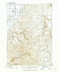
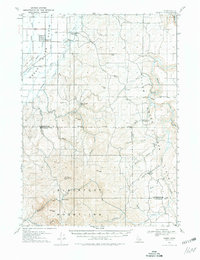
The Union Pacific railroad corridor serves as a primary transit artery in this 1920s-era landscape, where the settlement of Ammon sits at the intersection of irrigation development and rail transport. The agricultural character of the region is defined by the Hillside Canal and Highline Canal, which trace the base of the Sand Hills to support local farming. Rural education is well-represented across the quadrangle, with the Dewey School, Pleasant View School, Henry Creek School, and Rock Creek School serving scattered homesteads.
Find a feature on this map
33 named features on this map. Tap any name to fly to it.
Don’t see what you’re looking for? This feature index may not catch every label — zoom into the map to look around manually.
Map Details
Editions of this 1924 Ammon Map
3 editions found
Other maps of this area

1917 · Cranes Flat
USGS Topo · 1:62,500

1918 · Paradise Valley
USGS Topo · 1:62,500

1924 · Hell Creek
USGS Topo · 1:62,500

1926 · Hell Creek
USGS Topo · 1:62,500

1948 · Idaho Falls North
USGS Topo · 1:24,000

1948 · Idaho Falls South
USGS Topo · 1:24,000

1948 · Ucon
USGS Topo · 1:24,000

1949 · Ucon
USGS Topo · 1:24,000

1949 · Idaho Falls North
USGS Topo · 1:24,000

1949 · Roberts
USGS Topo · 1:62,500