Loading...
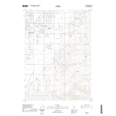
Loading map...1924 Map of Ammon
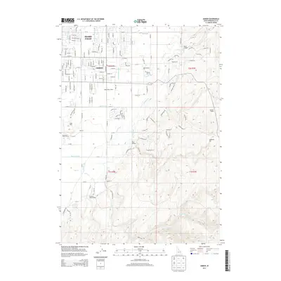
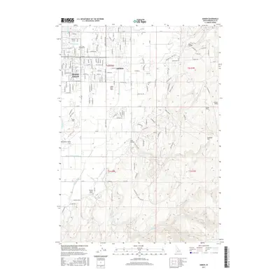
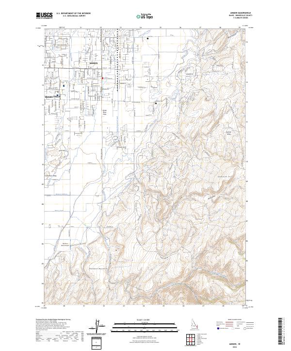
USGS Topo · Published 1981About this map
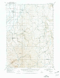
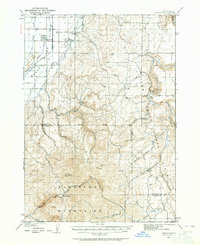
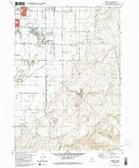
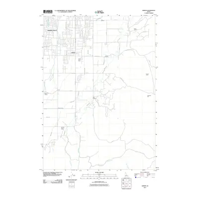
Ammon sits at the edge of the Snake River Plain, marking the transition from agricultural valley floor to the rising Blackfoot Mountains. This survey captures the irrigation and rail infrastructure vital to early twentieth-century settlement, featuring the Union Pacific railroad and a network of canals including the Highline and Hillside. The rural landscape is defined by local school districts, such as Pleasant View School and Dewey School, which served the scattered homesteads of Bonneville and Bingham counties.
Find a feature on this map
38 named features on this map. Tap any name to fly to it.
Don’t see what you’re looking for? This feature index may not catch every label — zoom into the map to look around manually.
Map Details
Date Portrayed1924
Date Published1981
PublisherU.S. Geological Survey
Map TypeTopographic
Scale1:62,500
Physical Dimensions16.6 x 21.6 inches
Editions of this 1924 Ammon Map
3 editions found

Historical Maps of Idaho Falls Through Time
7 maps found
Featured Locations
Source Details
SourceU.S. Geological Survey
CopyrightPublic Domain