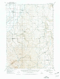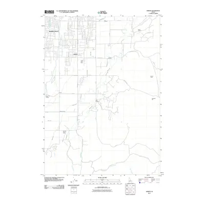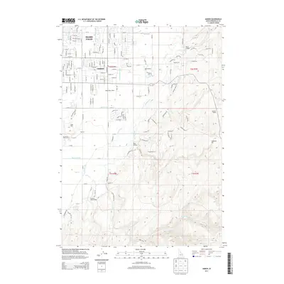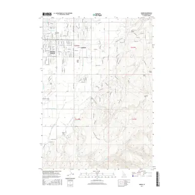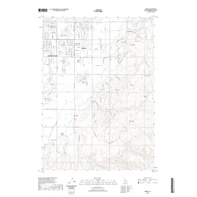
1981 Map of Ammon
USGS Topo · Published 1985About this map
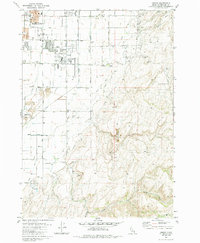
Ammon and the eastern outskirts of Idaho Falls define this landscape as it appeared in the early 1980s, showcasing a region in transition between urban expansion and agricultural roots. The Union Pacific railroad corridor serves as a central spine through the valley, surrounded by a complex system of irrigation infrastructure including the Sand Creek and numerous canals. Local institutional history is anchored by the Eastern Idaho Vocational Technical School and Falls Valley Sch, while recreational spaces like McCowin Park and the Sandy Downs Rodeo Grounds reflect the community's mid-century development.
Find a feature on this map
38 named features on this map. Tap any name to fly to it.
Don’t see what you’re looking for? This feature index may not catch every label — zoom into the map to look around manually.
Map Details
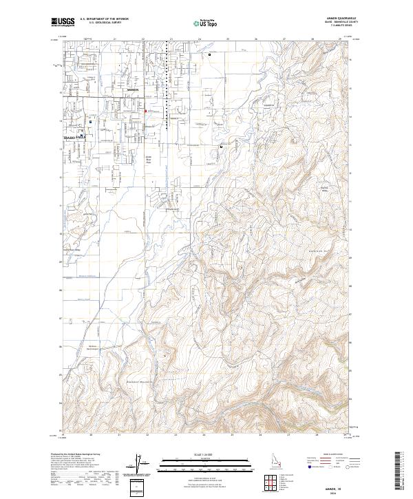
Editions of this 1981 Ammon Map
3 editions found
Historical Maps of Idaho Falls Through Time
7 maps found