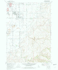
1981 Map of Ammon
USGS Topo · Published 1981About this map
Ammon and the eastern edge of Idaho Falls define this 1981 landscape, showing a period of suburban transition into the Bonneville County foothills. The map captures local landmarks like the Eastern Idaho Vocational Technical School and Falls Valley Sch alongside recreational spaces such as the Sandy Downs Rodeo Grounds and a Golf Course. The industrial and agricultural foundations of the area are visible through numerous extraction sites like Borrow Pits and Sandpits, while the Union Pacific line cuts through the western portion of the quadrangle.
Find a feature on this map
38 named features on this map. Tap any name to fly to it.
Don’t see what you’re looking for? This feature index may not catch every label — zoom into the map to look around manually.
Map Details
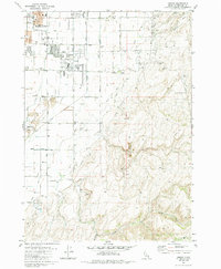
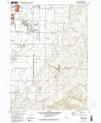
Editions of this 1981 Ammon Map
3 editions found
Other maps of this area

1924 · Ammon
USGS Topo · 1:62,500

1948 · Idaho Falls North
USGS Topo · 1:24,000

1948 · Idaho Falls South
USGS Topo · 1:24,000

1948 · Ucon
USGS Topo · 1:24,000

1949 · Ucon
USGS Topo · 1:24,000

1949 · Idaho Falls North
USGS Topo · 1:24,000

1949 · Roberts
USGS Topo · 1:62,500

1950 · Idaho Falls South
USGS Topo · 1:24,000

1950 · Rigby
USGS Topo · 1:62,500

1950 · Goshen
USGS Topo · 1:24,000