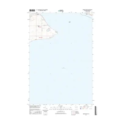
2015 Map of Amnicon Point
USGS Topo · Published 2015About this map
Madeline Island anchors this coastal study of the northern Apostle Islands, where the landscape meets the expansive waters of Lake Superior. The topography is defined by prominent landforms such as Steamboat Point and Amnicon Point, which frame the sheltered waters of Amnicon Bay. Inland, the terrain includes specialized environments like the aptly named Bog Lake and the dramatic inlet of Devils Cauldron. A sparse network of local roads and trails provides access to the shoreline and interior, including School House Rd and Chippewa Trl. The map also captures a portion of Michigan Island to the east, illustrating the isolated nature of these island landmasses within the Apostle Islands archipelago. This 2015 edition reflects the modern management and conservation of this island chain, showing how the land is divided through the Public Land Survey System while maintaining its character.
Find a feature on this map
17 named features on this map. Tap any name to fly to it.
Don’t see what you’re looking for? This feature index may not catch every label — zoom into the map to look around manually.
Map Details
Editions of this 2015 Amnicon Point Map
This is the sole edition of this map. No revisions or reprints were ever made.
Other maps of this area

1943 · Little Girl Point
USGS Topo · 1:48,000

1943 · Odanah
USGS Topo · 1:48,000

1945 · Odanah
USGS Topo · 1:48,000

1953 · Ashland
USGS Topo · 1:250,000
1956 · Little Girls Point
USGS Topo · 1:62,500

1958 · Ashland
USGS Topo · 1:250,000

1963 · Michigan Island
USGS Topo · 1:24,000

1963 · Oak Island
USGS Topo · 1:24,000
1963 · Stockton Island
USGS Topo · 1:24,000
1964 · Madeline Island
USGS Topo · 1:24,000