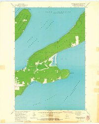
1964 Map of Madeline Island
USGS Topo · Published 1965About this map
Madeline Island dominates this mid-1960s survey of the Apostle archipelago, showing a landscape defined by its relation to the surrounding waters of Lake Superior. The interior of the island reveals a network of rural roads and clearings, with Greenwood Cem and several small structures marking the settled areas of La Pointe Twp. Along the northeastern shore, Apostle Islands State Forest preserves the wooded character of the island, while specialized features like the Big Bay Lagoon and a designated Picnic Area point to the island's role as a recreational destination. On the western side, a Quarry and Floating Rock serve as landmarks for those navigating the West Channel and North Channel. The detailed hydrographic data, including soundings in Big Bay and Chebomnicon Bay, highlights the maritime importance of the channels that separate Madeline from nearby Basswood Island.
Find a feature on this map
17 named features on this map. Tap any name to fly to it.
Don’t see what you’re looking for? This feature index may not catch every label — zoom into the map to look around manually.
Map Details
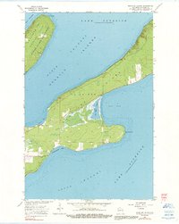
Editions of this 1964 Madeline Island Map
2 editions found
Other maps of this area

1941 · Bayfield
USGS Topo · 1:48,000

1942 · Ashland
USGS Topo · 1:48,000

1943 · Odanah
USGS Topo · 1:48,000

1945 · Odanah
USGS Topo · 1:48,000

1946 · Bayfield
USGS Topo · 1:48,000

1947 · Ashland
USGS Topo · 1:48,000

1953 · Ashland
USGS Topo · 1:250,000

1958 · Ashland
USGS Topo · 1:250,000

1963 · Oak Island
USGS Topo · 1:24,000
1963 · Stockton Island
USGS Topo · 1:24,000