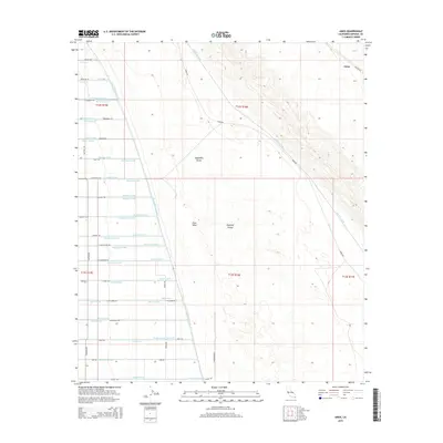
2015 Map of Amos
USGS Topo · Published 2015About this map
The East Highline Canal serves as the primary dividing line between the arid desert of the Algodones Dunes and the highly engineered agricultural landscape of the Imperial Valley. This border region demonstrates the intensive irrigation efforts of Southern California, where a dense network of water features like the Vail Supply Canal and the Nutmeg Lateral sustain desert farming. These laterals and drains, often named for flora such as the Mulberry and Nectarine, create a geometric grid that contrasts sharply with the drifting sands of East Mesa. Located near the railroad alignment, the small settlement of Amos represents a historic stop in a region defined by the transition from open dunes to reclaimed farmland. Local roads such as Pickett Rd and Dickerman Rd provide access to this remote corner of the county, illustrating the 21st-century infrastructure required to maintain this vital agricultural corridor.
Find a feature on this map
71 named features on this map. Tap any name to fly to it.
Don’t see what you’re looking for? This feature index may not catch every label — zoom into the map to look around manually.
Map Details
Editions of this 2015 Amos Map
This is the sole edition of this map. No revisions or reprints were ever made.
Other maps of this area

1907 · Holtville
USGS Topo · 1:125,000

1940 · Iris
USGS Topo · 1:62,500

1940 · Alamorio
USGS Topo · 1:62,500

1942 · El Centro
USGS Topo · 1:250,000

1945 · Alamorio
USGS Topo · 1:62,500

1945 · Iris
USGS Topo · 1:62,500

1953 · Acolita
USGS Topo · 1:24,000

1953 · Acolita
USGS Topo · 1:62,500

1954 · El Centro
USGS Topo · 1:250,000

1954 · Salton Sea
USGS Topo · 1:250,000