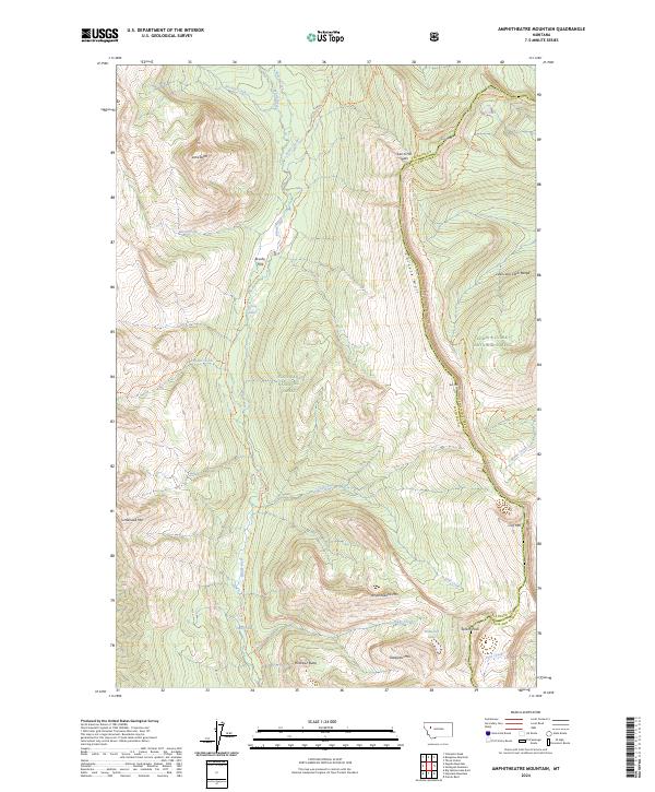
2024 Map of Amphitheatre Mountain
USGS Topo · Published 2024About this map
The Chinese Wall dominates the eastern portion of this high-altitude landscape, serving as a massive limestone escarpment along the Lewis and Clark Range. This 2024 survey captures the untouched character of the Bob Marshall Wilderness, where the Continental Divide National Scenic Trl traverses the crest near Larch Hill Pass. The western drainage is defined by the White River, which is fed by numerous tributaries including Pagoda Creek and Seep Creek.
Find a feature on this map
40 named features on this map. Tap any name to fly to it.
Don’t see what you’re looking for? This feature index may not catch every label — zoom into the map to look around manually.
Map Details
Editions of this 2024 Amphitheatre Mountain Map
This is the sole edition of this map. No revisions or reprints were ever made.
Other maps of this area

1936 · Silvertip
USGS Topo · 1:96,000

1942 · Silvertip
USGS Topo · 1:125,000

1955 · Choteau
USGS Topo · 1:250,000

1957 · Choteau
USGS Topo · 1:250,000

1958 · Choteau
USGS Topo · 1:250,000

1962 · Choteau
USGS Topo · 1:250,000

1970 · Big Salmon Lake East
USGS Topo · 1:24,000
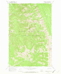
1970 · Cathedral Peak
USGS Topo · 1:24,000
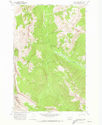
1970 · Prairie Reef
USGS Topo · 1:24,000
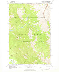
1970 · Haystack Mountain
USGS Topo · 1:24,000