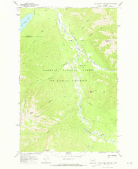
1970 Map of Big Salmon Lake East
USGS Topo · Published 1973About this map
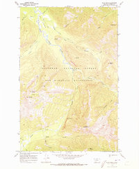
The Bob Marshall Wilderness dominates this 1970 study, showcasing a landscape defined by the winding South Fork Flathead River. As part of the Flathead National Forest, the map captures a period of early environmental management, evidenced by the Holbrook Guard Sta and a network of Pack Trails that provided the only access into these remote reaches. The river valley is punctuated by alluvial features like Murphy Flat and the confluence of the White River, where several fords suggest the historical movement of forest rangers and early pack trains.
Find a feature on this map
26 named features on this map. Tap any name to fly to it.
Don’t see what you’re looking for? This feature index may not catch every label — zoom into the map to look around manually.
Map Details
Editions of this 1970 Big Salmon Lake East Map
This is the sole edition of this map. No revisions or reprints were ever made.
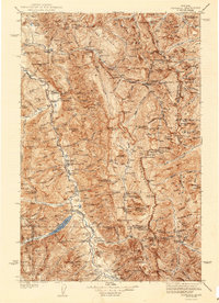
Other maps of this area

1902 · Ovando
USGS Topo · 1:125,000

1905 · Ovando
USGS Topo · 1:125,000

1936 · Silvertip
USGS Topo · 1:96,000
1942 · Silvertip
USGS Topo · 1:125,000

1955 · Choteau
USGS Topo · 1:250,000

1957 · Choteau
USGS Topo · 1:250,000

1958 · Choteau
USGS Topo · 1:250,000

1962 · Choteau
USGS Topo · 1:250,000
1970 · Pilot Peak
USGS Topo · 1:24,000
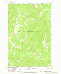
1970 · Marmot Mountain
USGS Topo · 1:24,000