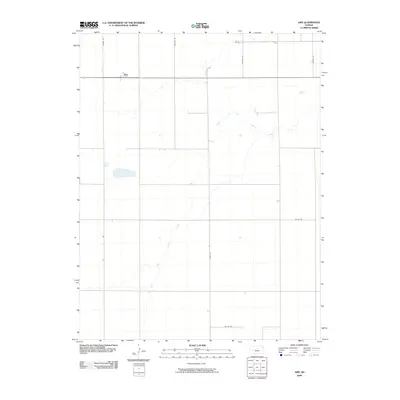
2009 Map of Amy
USGS Topo · Published 2009About this map
Amy stands along the northern edge of this high plains landscape in Lane County, where the transition from traditional agriculture to a grid-defined road network is clearly visible. The terrain is defined by the winding course of the South Fork Walnut Creek, which cuts a diagonal path through the prairie, providing a natural break in the otherwise orderly section lines. Named routes such as Dodge Rd, Frontier Rd, and Hickock Rd reinforce the regional history and development of western Kansas. This map documents a quiet period in the early 21st century when the landscape remained predominantly rural, shaped by the water of the Walnut Creek drainage and a series of county roads like Co Rd 110 and Gage Rd that connect the small settlement to the surrounding ranchland.
Find a feature on this map
9 named features on this map. Tap any name to fly to it.
Don’t see what you’re looking for? This feature index may not catch every label — zoom into the map to look around manually.
Map Details
Editions of this 2009 Amy Map
This is the sole edition of this map. No revisions or reprints were ever made.
Other maps of this area

1955 · Scott City
USGS Topo · 1:250,000

1958 · Scott City
USGS Topo · 1:250,000

1974 · Dighton SW
USGS Topo · 1:24,000

1974 · Amy SE
USGS Topo · 1:24,000

1974 · Dighton
USGS Topo · 1:24,000

1974 · Amy SW
USGS Topo · 1:24,000

1974 · Grigston
USGS Topo · 1:24,000

1974 · Amy
USGS Topo · 1:24,000

1974 · Manning
USGS Topo · 1:24,000

1974 · Healy
USGS Topo · 1:24,000