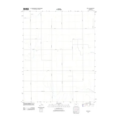
2012 Map of Amy SE
USGS Topo · Published 2012About this map
Sutton Cem sits at the northern edge of this high plains landscape, a primary marker of local heritage in a region defined by its geometric road network and seasonal watercourses. The terrain is structured by a rigorous grid of section-line roads, including Frontier Rd, Hickock Rd, and S Ike Rd, which facilitate transport across the agricultural expanse of Finney County. The drainage patterns of S Fork Walnut Cr and Hackberry Cr reveal the subtle natural topography that dictates local land use. This 2012 survey documents the persistent rural character of western Kansas, where long-established boundaries like E Finney Scott Rd and Lane-Finney RD delineate the county lines and old property divisions that have shaped this community for generations.
Find a feature on this map
20 named features on this map. Tap any name to fly to it.
Don’t see what you’re looking for? This feature index may not catch every label — zoom into the map to look around manually.
Map Details
Editions of this 2012 Amy SE Map
This is the sole edition of this map. No revisions or reprints were ever made.
Other maps of this area

1955 · Scott City
USGS Topo · 1:250,000

1958 · Scott City
USGS Topo · 1:250,000

1974 · Ravanna
USGS Topo · 1:24,000
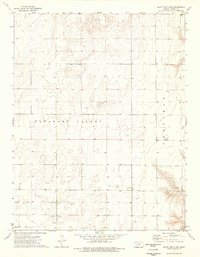
1974 · Scott City 4 NW
USGS Topo · 1:24,000

1974 · Dighton SW
USGS Topo · 1:24,000

1974 · Amy SE
USGS Topo · 1:24,000

1974 · Dighton
USGS Topo · 1:24,000

1974 · Scott City 4 NE
USGS Topo · 1:24,000

1974 · Amy SW
USGS Topo · 1:24,000

1974 · Grigston
USGS Topo · 1:24,000