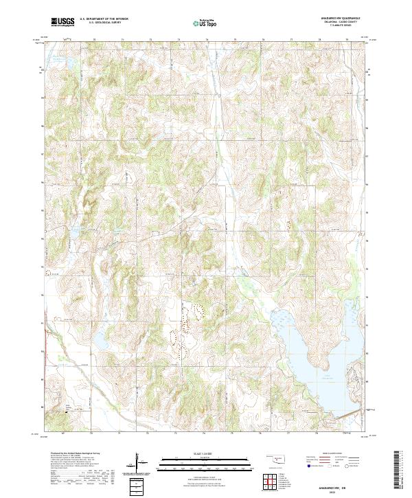
2022 Map of Anadarko NW
USGS Topo · Published 2022About this map
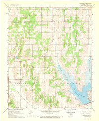
Lake Chickasha dominates the southeastern corner of this Caddo County landscape, its irregular shoreline defined by inlets where the local drainage system meets the reservoir. The terrain is characterized by a dense network of watercourses, including Sugar Creek, Spring Creek, and Stinking Creek, which wind through the township sections of T9N R9W and T8N R10W. Numerous smaller impoundments like Sugar Creek Site 33 Reservoir and Sugar Creek Site 36 Reservoir indicate a highly managed watershed designed for flood control and water storage. Cultural markers of earlier settlement remain visible, most notably at the Rock Springs Cemetery located near the intersection of Co Rd 1300 and Co Street 2670. The map also details the grid of rural routes such as Gracemont Road and Lake View Drive, reflecting the area's agricultural and residential development around the lake.
Find a feature on this map
47 named features on this map. Tap any name to fly to it.
Don’t see what you’re looking for? This feature index may not catch every label — zoom into the map to look around manually.
Map Details
Editions of this 2022 Anadarko NW Map
This is the sole edition of this map. No revisions or reprints were ever made.
Other maps of this area

1893 · Buggy Creek
USGS Topo · 1:62,500

1945 · Anadarko
USGS Topo · 1:62,500

1951 · Binger
USGS Topo · 1:62,500

1951 · Fort Cobb
USGS Topo · 1:62,500

1955 · Clinton
USGS Topo · 1:250,000

1957 · Clinton
USGS Topo · 1:250,000
1967 · Cogar
USGS Topo · 1:24,000
1968 · Cogar SE
USGS Topo · 1:24,000
1968 · Anadarko NE
USGS Topo · 1:24,000
1968 · Anadarko NW
USGS Topo · 1:24,000