
1949 Map of Anceney
USGS Topo · Published 1953About this map
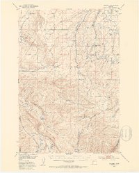
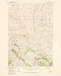
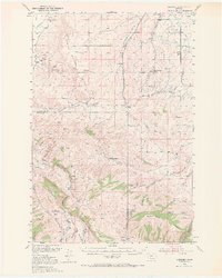
Anceney sits at the heart of this post-war ranching landscape, where the Northern Pacific railroad meets the Anceney Road. The map reveals a complex water management system essential for high-country agriculture, featuring the Lowline Canal, Alley DITCH, and Lewis Ditch along with several flumes and siphons. These irrigation works supported prominent local operations such as the Sloan Ranch and Home Ranch.
Find a feature on this map
53 named features on this map. Tap any name to fly to it.
Don’t see what you’re looking for? This feature index may not catch every label — zoom into the map to look around manually.
Map Details
Editions of this 1949 Anceney Map
4 editions found
Other maps of this area

1888 · Three Forks
USGS Topo · 1:250,000

1894 · Three Forks
USGS Topo · 1:250,000

1895 · Three Forks
USGS Topo · 1:250,000

1947 · Bozeman
USGS Topo · 1:250,000

1948 · Bozeman
USGS Topo · 1:250,000

1949 · Manhattan
USGS Topo · 1:62,500

1949 · Ennis
USGS Topo · 1:62,500

1949 · Norris
USGS Topo · 1:62,500

1950 · Three Forks
USGS Topo · 1:62,500

1950 · Belgrade
USGS Topo · 1:62,500