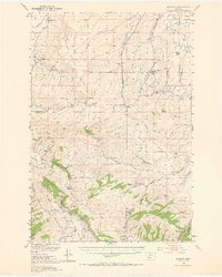
1949 Map of Anceney
USGS Topo · Published 1965About this map
The Madison Plateau and the rugged drainage basins of the Gallatin River define this ranching and mining landscape at the midpoint of the twentieth century. Irrigation infrastructure is vital to the local economy, shown through the intricate network of the Highline Canal, Lowline Canal, and various ditches like the Pacific Ditch. Small community centers and rural school districts are evident at Little Holland Sch and the Upper Madison School, while the Highline School (Aband) reflects shifting settlement patterns. Industrial history is represented by the Corundum Mine (Inactive) near Salesville. To the south, the terrain transitions into the high country of the Spanish Creek Basin, where the Cherry Creek Ranger Sta and family holdings like Butler Ranch and Sloan Ranch mark the outposts of the Gallatin National Forest boundary.
Find a feature on this map
59 named features on this map. Tap any name to fly to it.
Don’t see what you’re looking for? This feature index may not catch every label — zoom into the map to look around manually.
Map Details
Editions of this 1949 Anceney Map
4 editions found
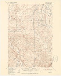
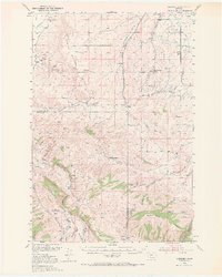
Other maps of this area

1888 · Three Forks
USGS Topo · 1:250,000

1894 · Three Forks
USGS Topo · 1:250,000

1895 · Three Forks
USGS Topo · 1:250,000

1947 · Bozeman
USGS Topo · 1:250,000

1948 · Bozeman
USGS Topo · 1:250,000

1949 · Anceney
USGS Topo · 1:62,500

1949 · Manhattan
USGS Topo · 1:62,500

1949 · Ennis
USGS Topo · 1:62,500

1949 · Norris
USGS Topo · 1:62,500

1950 · Three Forks
USGS Topo · 1:62,500