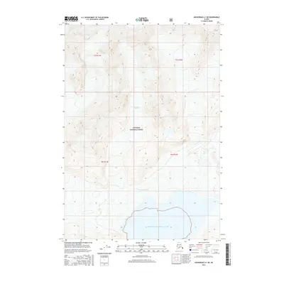
2016 Map of Anchorage A-1 NE
USGS Topo · Published 2016About this map
Chugach National Forest land dominates this coastal Alaskan landscape, where the massive Columbia Glacier flows south toward the sea. The map documents the intricate ice and terrain of the Ted Stevens Icefield, illustrating the dynamic glaciated environment of the Unorganized Borough during the early 21st century. The survey provides significant topographic detail for the shoreline where the glacial ice meets Prince William Sound. This document is a primary resource for observing the interaction between the high-altitude icefields and the maritime environment, showing the complex drainage and contour patterns of the ice-choked valleys and the open water at the southern edge of the quadrangle.
Find a feature on this map
10 named features on this map. Tap any name to fly to it.
Don’t see what you’re looking for? This feature index may not catch every label — zoom into the map to look around manually.
Map Details
Editions of this 2016 Anchorage A-1 NE Map
This is the sole edition of this map. No revisions or reprints were ever made.
Other maps of this area

1951 · Anchorage
USGS Topo · 1:250,000

1952 · Valdez
USGS Topo · 1:250,000

1960 · Valdez A-8
USGS Topo · 1:63,360

1960 · Anchorage A-1
USGS Topo · 1:63,360

1960 · Anchorage B-1
USGS Topo · 1:63,360

1960 · Valdez B-8
USGS Topo · 1:63,360

1960 · Valdez
USGS Topo · 1:250,000

1962 · Anchorage
USGS Topo · 1:250,000

1979 · Anchorage
USGS Topo · 1:250,000
1995 · Valdez A-8
USGS Topo · 1:63,360