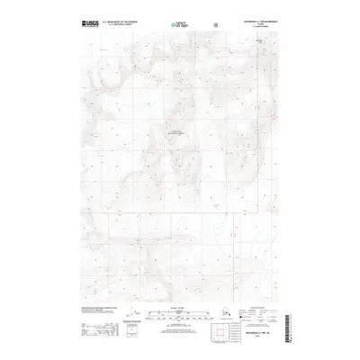
2013 Map of Anchorage A-1 NW
USGS Topo · Published 2013About this map
Chugach National Forest dominates this Alaskan landscape, where the movement of massive ice sheets has defined the geography for millennia. This 2013 survey documents the positions of the Meares Glacier and the Columbia Glacier, alongside the high elevation of Columbia Peak. The interplay between these glaciers and the surrounding mountains is captured in high detail, showing the vast glacial fields and the steep relief of the coastal mountains within the unorganized borough. Smaller ice features like Pedro Glacier are also mapped, providing a precise look at the hydrology and terrain of this region in the early twenty-first century.
Find a feature on this map
9 named features on this map. Tap any name to fly to it.
Don’t see what you’re looking for? This feature index may not catch every label — zoom into the map to look around manually.
Map Details
Editions of this 2013 Anchorage A-1 NW Map
This is the sole edition of this map. No revisions or reprints were ever made.
Other maps of this area

1951 · Anchorage
USGS Topo · 1:250,000

1960 · Anchorage A-2
USGS Topo · 1:63,360

1960 · Anchorage A-1
USGS Topo · 1:63,360

1960 · Anchorage B-1
USGS Topo · 1:63,360

1960 · Anchorage B-2
USGS Topo · 1:63,360

1962 · Anchorage
USGS Topo · 1:250,000

1979 · Anchorage
USGS Topo · 1:250,000
1995 · Anchorage A-1
USGS Topo · 1:63,360
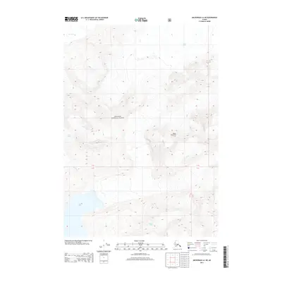
2013 · Anchorage A-2 NE
USGS Topo · 1:25,000
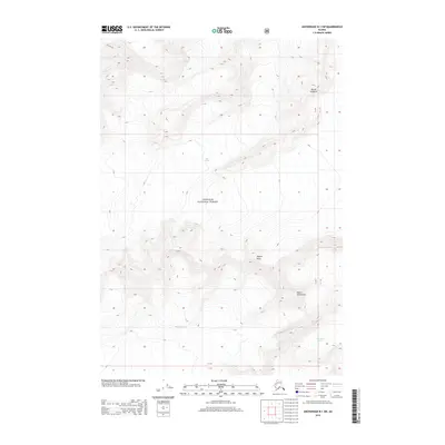
2013 · Anchorage B-1 SW
USGS Topo · 1:25,000