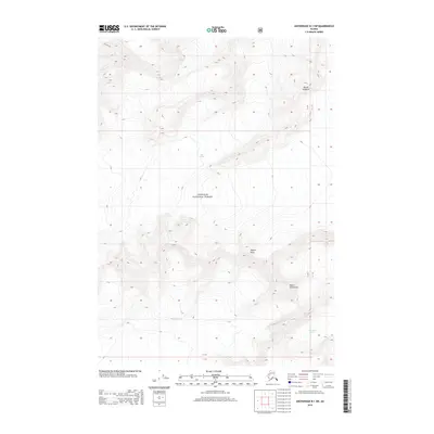
2013 Map of Anchorage B-1 SW
USGS Topo · Published 2013About this map
Chugach National Forest encompasses the entirety of this high-altitude landscape, which is dominated by massive ice fields and high peaks. The topography is defined by the convergence of several major ice flows, including the Harvard Glacier and Yale Glacier in the northern reaches, while the southern portions are marked by the Meares Glacier and the expansive Columbia Glacier. These glacial systems carve through the terrain between prominent summits such as Mount Cardozo, Aspero Peak, and Mount Michelson. The 2013 survey provides a clear view of the state of these glaciers and their relationship to the steep, uninhabited mountain ridges of the Unorganized Borough. The map serves as a vital record of the shifting ice and drainage patterns within this protected wilderness area.
Find a feature on this map
12 named features on this map. Tap any name to fly to it.
Don’t see what you’re looking for? This feature index may not catch every label — zoom into the map to look around manually.
Map Details
Editions of this 2013 Anchorage B-1 SW Map
This is the sole edition of this map. No revisions or reprints were ever made.
Other maps of this area

1951 · Anchorage
USGS Topo · 1:250,000

1960 · Anchorage A-2
USGS Topo · 1:63,360

1960 · Anchorage A-1
USGS Topo · 1:63,360

1960 · Anchorage B-1
USGS Topo · 1:63,360

1960 · Anchorage B-2
USGS Topo · 1:63,360

1962 · Anchorage
USGS Topo · 1:250,000

1979 · Anchorage
USGS Topo · 1:250,000
1995 · Anchorage A-1
USGS Topo · 1:63,360
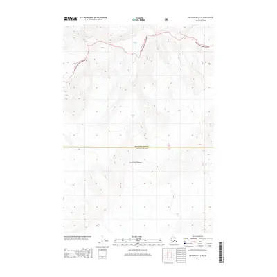
2013 · Anchorage B-2 NE
USGS Topo · 1:25,000
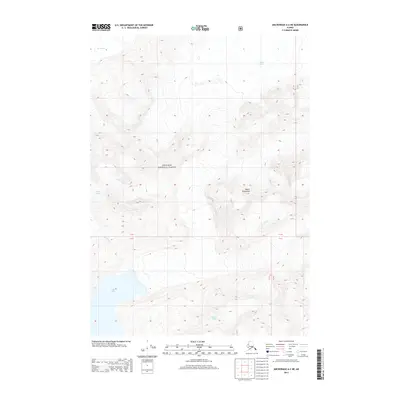
2013 · Anchorage A-2 NE
USGS Topo · 1:25,000