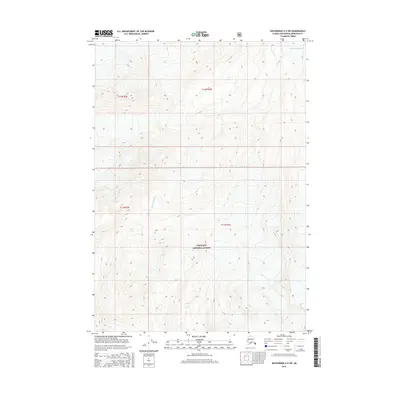
2016 Map of Anchorage A-5 SW
USGS Topo · Published 2016About this map
Chugach National Forest encompasses the vast majority of this 2016 terrain study, showcasing a wilderness landscape defined by high-elevation ice and glacial drainage. In the northeastern corner of the sheet, the Ted Stevens Icefield feeds the complex topography of the Kenai Mountains, where steep contours indicate sharp relief and permanent snowfields. The Twentymile River serves as a primary hydrological feature, winding through the valley floors between towering peaks. The map is largely dominated by the natural boundaries of the national forest and several township divisions, including t11n r3e and t12n r4e, illustrating a region where federal land management and natural barriers take precedence over human settlement or infrastructure.
Find a feature on this map
7 named features on this map. Tap any name to fly to it.
Don’t see what you’re looking for? This feature index may not catch every label — zoom into the map to look around manually.
Map Details
Editions of this 2016 Anchorage A-5 SW Map
This is the sole edition of this map. No revisions or reprints were ever made.
Other maps of this area

1951 · Seward
USGS Topo · 1:250,000

1951 · Anchorage
USGS Topo · 1:250,000

1951 · Seward D-5
USGS Topo · 1:63,360

1951 · Seward D-6
USGS Topo · 1:63,360

1952 · Seward D-5
USGS Topo · 1:63,360

1952 · Seward D-6
USGS Topo · 1:63,360

1953 · Seward
USGS Topo · 1:250,000

1959 · Seward
USGS Topo · 1:250,000

1960 · Anchorage A-6
USGS Topo · 1:63,360

1960 · Anchorage A-5
USGS Topo · 1:63,360