
1960 Map of Anchorage A-5
USGS Topo · Published 1964About this map
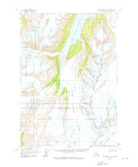
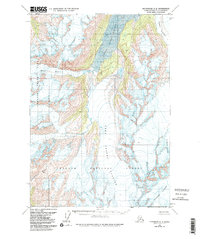
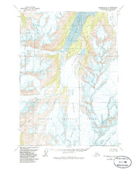
Upper Lake George and the expansive Lake George dominate this 1960 survey, revealing a landscape defined by massive ice formations and shifting glacial runoff. The map captures a moment in the mid-century before significant geomorphic changes, showcasing the formidable presence of the Colony Glacier as it interacts with the water systems. Most of the terrain falls within the Chugach National Forest, marked by an Indefinite Boundary that speaks to the remote and evolving nature of the Alaskan wilderness at this time. To the south, the headwaters of the Twentymile River and the secluded Glenn Lake offer specific points of reference for those studying the hydrology of the region. The sheer scale of the Stairway Glacier and Surprise Glacier illustrates the glacial dominance that dictated local navigation and land use during this era.
Find a feature on this map
9 named features on this map. Tap any name to fly to it.
Don’t see what you’re looking for? This feature index may not catch every label — zoom into the map to look around manually.
Map Details
Editions of this 1960 Anchorage A-5 Map
4 editions found
Other maps of this area

1951 · Seward
USGS Topo · 1:250,000

1951 · Anchorage
USGS Topo · 1:250,000

1951 · Seward D-5
USGS Topo · 1:63,360

1951 · Seward D-4
USGS Topo · 1:63,360

1951 · Seward D-6
USGS Topo · 1:63,360

1952 · Seward D-5
USGS Topo · 1:63,360

1952 · Seward D-4
USGS Topo · 1:63,360

1952 · Seward D-6
USGS Topo · 1:63,360

1953 · Seward
USGS Topo · 1:250,000

1959 · Seward
USGS Topo · 1:250,000