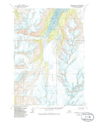
1960 Map of Anchorage A-5
USGS Topo · Published 1986About this map
Glacial ice and alpine basins dominate this mid-century survey of the Chugach Mountains, recorded before the significant landscape shifts of later decades. The massive Colony Glacier and Stairway Glacier are shown at their 1960 extent, feeding the basins of Upper Lake George and Lake George. This specific topography reflects the region's dynamic hydrology, particularly the historical self-damming and seasonal outburst flooding typical of this glacial system.
Find a feature on this map
11 named features on this map. Tap any name to fly to it.
Don’t see what you’re looking for? This feature index may not catch every label — zoom into the map to look around manually.
Map Details
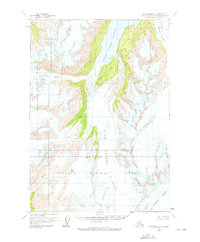
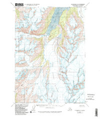
Editions of this 1960 Anchorage A-5 Map
4 editions found

Other maps of this area

1951 · Seward
USGS Topo · 1:250,000

1951 · Anchorage
USGS Topo · 1:250,000

1951 · Seward D-5
USGS Topo · 1:63,360

1951 · Seward D-4
USGS Topo · 1:63,360

1951 · Seward D-6
USGS Topo · 1:63,360

1952 · Seward D-5
USGS Topo · 1:63,360

1952 · Seward D-4
USGS Topo · 1:63,360

1952 · Seward D-6
USGS Topo · 1:63,360

1953 · Seward
USGS Topo · 1:250,000

1959 · Seward
USGS Topo · 1:250,000