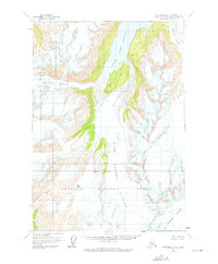
1960 Map of Anchorage A-5
USGS Topo · Published 1975About this map
Upper Lake George and Lake George dominate this glacial corridor within the eastern reaches of the Chugach National Forest. Photogrammetric methods from 1957 aerial photography reveal a landscape defined by massive ice flows, including the Colony Glacier and the Surprise Glacier. The map documents the intricate network of crevasses and ice fields that feed into the Twentymile River system. The presence of an indefinite boundary and the transition between the national forest and Chugach State Park underscore the remote nature of this wilderness during the mid-twentieth century. Geographic features like Whiteout Glacier and Stairway Glacier highlight the significant glaciology of the Anchorage area borough, while isolated water bodies like Glenn Lake offer landmarks for navigators in an era before modern infrastructure reached these high elevations.
Find a feature on this map
12 named features on this map. Tap any name to fly to it.
Don’t see what you’re looking for? This feature index may not catch every label — zoom into the map to look around manually.
Map Details
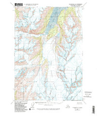
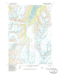
Editions of this 1960 Anchorage A-5 Map
4 editions found

Other maps of this area

1951 · Seward
USGS Topo · 1:250,000

1951 · Anchorage
USGS Topo · 1:250,000

1951 · Seward D-5
USGS Topo · 1:63,360

1951 · Seward D-4
USGS Topo · 1:63,360

1951 · Seward D-6
USGS Topo · 1:63,360

1952 · Seward D-5
USGS Topo · 1:63,360

1952 · Seward D-4
USGS Topo · 1:63,360

1952 · Seward D-6
USGS Topo · 1:63,360

1953 · Seward
USGS Topo · 1:250,000

1959 · Seward
USGS Topo · 1:250,000