
1953 Map of Seward
USGS Topo · Published 1956About this map
The coastal hub of Seward anchor this 1950s survey of the Kenai Peninsula, where the Alaska Railroad snakes through mountain passes to reach the deep-water ports of Resurrection Bay and Passage Canal. This era captures a landscape defined by the reach of the rail line and the Sterling Highway, connecting remote settlements like Moose Pass, Lawing, and Hope. To the east, the map details the intricate coastlines and scattered islands of Prince William Sound, including the village of Chenega and the mining-associated site at Latouche. The vast glacial systems of the Sargent Icefield and Harding Icefield dominate the high country, illustrating the formidable terrain that separated established settlements. Researchers can trace the mid-century infrastructure of the Chugach National Forest and the early layout of Girdwood and Whittier before later decades brought significant growth and seismic change to the region.
Find a feature on this map
57 named features on this map. Tap any name to fly to it.
Don’t see what you’re looking for? This feature index may not catch every label — zoom into the map to look around manually.
Map Details
Editions of this 1953 Seward Map
12 editions found
1956 edition
28 x 22.7 inches
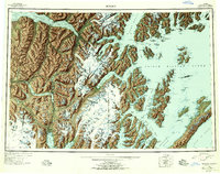
1956 edition
28.5 x 22.5 inches
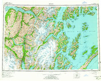
1963 edition
28.2 x 22.7 inches
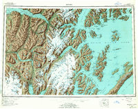
1963 edition
28.2 x 22.2 inches
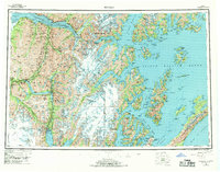
1969 edition
29 x 22.7 inches
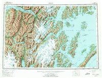
1975 edition
29 x 22.3 inches
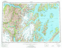
1975 edition
28.8 x 22.1 inches
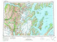
1981 edition
30.4 x 22.7 inches
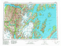
1982 edition
30.4 x 23.2 inches
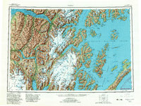
1982 edition
30.4 x 23 inches
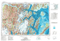
1985 edition
33.6 x 23.2 inches
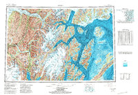
1987 edition
33.9 x 23.3 inches
Other maps of this area

1944 · Kenai
USGS Topo · 1:250,000

1946 · Blying Sound
USGS Topo · 1:250,000

1948 · Cordova
USGS Topo · 1:250,000

1948 · Middleton Island
USGS Topo · 1:250,000

1949 · Tyonek
USGS Topo · 1:250,000

1950 · Kenai
USGS Topo · 1:250,000

1950 · Middleton Island
USGS Topo · 1:250,000

1950 · Kenai B-1
USGS Topo · 1:63,360

1950 · Seward B-3
USGS Topo · 1:63,360

1950 · Seward A-6
USGS Topo · 1:63,360