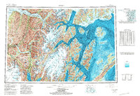
1953 Map of Seward
USGS Topo · Published 1987About this map
Sargent Icefield and Harding Icefield dominate the high country of the Kenai Peninsula, where massive glacial systems flow into the intricate fjords of south-central Alaska. This topographic-bathymetric survey illustrates the maritime and mountain geography of the mid-20th century, centering on the port of Seward at the head of Resurrection Bay. The Alaska Railroad provides a vital transportation spine, winding through the mountains from the coast to Portage and north toward Rainbow.
Find a feature on this map
49 named features on this map. Tap any name to fly to it.
Don’t see what you’re looking for? This feature index may not catch every label — zoom into the map to look around manually.
Map Details
Editions of this 1953 Seward Map
12 editions found

1956 edition
28 x 22.7 inches
1956 edition
28.5 x 22.5 inches
1963 edition
28.2 x 22.7 inches
1963 edition
28.2 x 22.2 inches
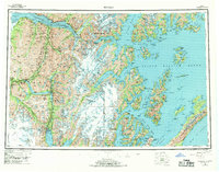
1969 edition
29 x 22.7 inches
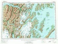
1975 edition
29 x 22.3 inches
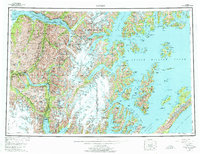
1975 edition
28.8 x 22.1 inches
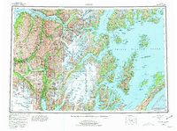
1981 edition
30.4 x 22.7 inches
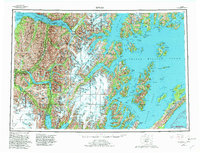
1982 edition
30.4 x 23.2 inches
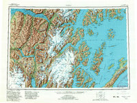
1982 edition
30.4 x 23 inches
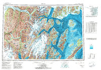
1985 edition
33.6 x 23.2 inches
1987 edition
33.9 x 23.3 inches
Other maps of this area

1944 · Kenai
USGS Topo · 1:250,000

1946 · Blying Sound
USGS Topo · 1:250,000

1948 · Cordova
USGS Topo · 1:250,000

1948 · Middleton Island
USGS Topo · 1:250,000

1949 · Tyonek
USGS Topo · 1:250,000

1950 · Kenai
USGS Topo · 1:250,000

1950 · Middleton Island
USGS Topo · 1:250,000

1950 · Kenai B-1
USGS Topo · 1:63,360

1950 · Seward B-3
USGS Topo · 1:63,360

1950 · Seward A-6
USGS Topo · 1:63,360