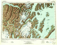
1953 Map of Seward
USGS Topo · Published 1956About this map
The Kenai Peninsula coastline and its deep glaciated fjords define this mid-century survey, centered on the strategic port of Seward. The terrain is dominated by the massive Sargent Icefield and Harding Icefield, which feed numerous glaciers descending toward Prince William Sound and Resurrection Bay. Settlement patterns are shaped by the Alaska Railroad, which snakes north through Moose Pass and Portage toward Turnagain Arm.
Find a feature on this map
55 named features on this map. Tap any name to fly to it.
Don’t see what you’re looking for? This feature index may not catch every label — zoom into the map to look around manually.
Map Details
Editions of this 1953 Seward Map
12 editions found

1956 edition
28 x 22.7 inches
1956 edition
28.5 x 22.5 inches
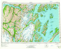
1963 edition
28.2 x 22.7 inches
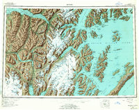
1963 edition
28.2 x 22.2 inches
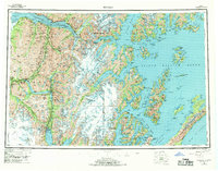
1969 edition
29 x 22.7 inches
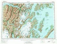
1975 edition
29 x 22.3 inches
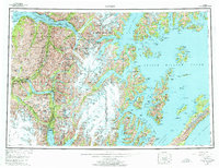
1975 edition
28.8 x 22.1 inches
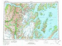
1981 edition
30.4 x 22.7 inches
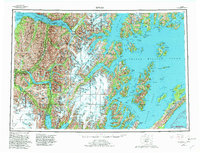
1982 edition
30.4 x 23.2 inches
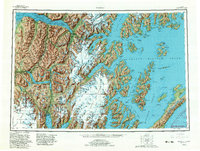
1982 edition
30.4 x 23 inches
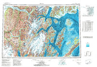
1985 edition
33.6 x 23.2 inches
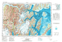
1987 edition
33.9 x 23.3 inches
Other maps of this area

1944 · Kenai
USGS Topo · 1:250,000

1946 · Blying Sound
USGS Topo · 1:250,000

1948 · Cordova
USGS Topo · 1:250,000

1948 · Middleton Island
USGS Topo · 1:250,000

1949 · Tyonek
USGS Topo · 1:250,000

1950 · Kenai
USGS Topo · 1:250,000

1950 · Middleton Island
USGS Topo · 1:250,000

1950 · Kenai B-1
USGS Topo · 1:63,360

1950 · Seward B-3
USGS Topo · 1:63,360

1950 · Seward A-6
USGS Topo · 1:63,360