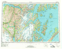
1953 Map of Seward
USGS Topo · Published 1969About this map
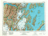
The Kenai Peninsula is defined here by the meeting of massive glacial icefields and the intricate deep-water fjords of Prince William Sound. This 1953 survey, revised in 1969, illustrates the vital corridor of the Alaska Railroad as it winds from Seward northward through the Kenai Mountains, passing high-altitude stops like Grandview and Spencer before reaching Portage. The landscape is a study in mid-century Alaskan logistics, showing the strategic rail connection through the mountains to Whittier on Passage Canal. Along the shores of Kenai Lake, small settlements like Lawing and Moose Pass mark the thin line of human habitation between the Sargent Icefield and the Harding Icefield. To the east, the map details the rugged island topography of the sound, including Knight Island and the village of Chenega, prior to the shifts in settlement that followed the era's tectonic activity.
Find a feature on this map
72 named features on this map. Tap any name to fly to it.
Don’t see what you’re looking for? This feature index may not catch every label — zoom into the map to look around manually.
Map Details
Editions of this 1953 Seward Map
12 editions found

1956 edition
28 x 22.7 inches
1956 edition
28.5 x 22.5 inches
1963 edition
28.2 x 22.7 inches
1963 edition
28.2 x 22.2 inches
1969 edition
29 x 22.7 inches
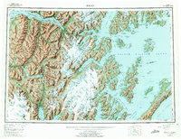
1975 edition
29 x 22.3 inches
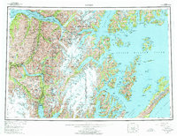
1975 edition
28.8 x 22.1 inches
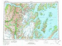
1981 edition
30.4 x 22.7 inches
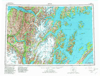
1982 edition
30.4 x 23.2 inches
1982 edition
30.4 x 23 inches
1985 edition
33.6 x 23.2 inches
1987 edition
33.9 x 23.3 inches
Other maps of this area

1944 · Kenai
USGS Topo · 1:250,000

1946 · Blying Sound
USGS Topo · 1:250,000

1948 · Cordova
USGS Topo · 1:250,000

1948 · Middleton Island
USGS Topo · 1:250,000

1949 · Tyonek
USGS Topo · 1:250,000

1950 · Kenai
USGS Topo · 1:250,000

1950 · Middleton Island
USGS Topo · 1:250,000

1950 · Kenai B-1
USGS Topo · 1:63,360

1950 · Seward B-3
USGS Topo · 1:63,360

1950 · Seward A-6
USGS Topo · 1:63,360