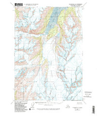
1960 Map of Anchorage A-5
USGS Topo · Published 1986About this map
Upper Lake George and the expansive Lake George dominate this mountainous landscape within the Chugach National Forest. Photographed in 1957 and field-annotated in 1960, the map documents a massive glacial system where the Colony Glacier feeds directly into the upper lake's northern edge. The lack of roads or settlements underscores the wilderness character of the Chugach Mountains during this period, focusing instead on the movement of ice and water through high-altitude basins. To the east and south, the sheet traces the dramatic reach of the Stairway Glacier and Surprise Glacier, while the headwaters of the Twentymile River begin their descent toward the coast. This survey serves as a vital record of these massive ice fields, including Whiteout Glacier, before later twentieth-century environmental shifts significantly altered their footprints and the surrounding alpine terrain of Chugach State Park.
Find a feature on this map
9 named features on this map. Tap any name to fly to it.
Don’t see what you’re looking for? This feature index may not catch every label — zoom into the map to look around manually.
Map Details
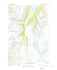
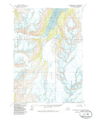
Editions of this 1960 Anchorage A-5 Map
4 editions found

Other maps of this area

1951 · Seward
USGS Topo · 1:250,000

1951 · Anchorage
USGS Topo · 1:250,000

1951 · Seward D-5
USGS Topo · 1:63,360

1951 · Seward D-4
USGS Topo · 1:63,360

1951 · Seward D-6
USGS Topo · 1:63,360

1952 · Seward D-5
USGS Topo · 1:63,360

1952 · Seward D-4
USGS Topo · 1:63,360

1952 · Seward D-6
USGS Topo · 1:63,360

1953 · Seward
USGS Topo · 1:250,000

1959 · Seward
USGS Topo · 1:250,000