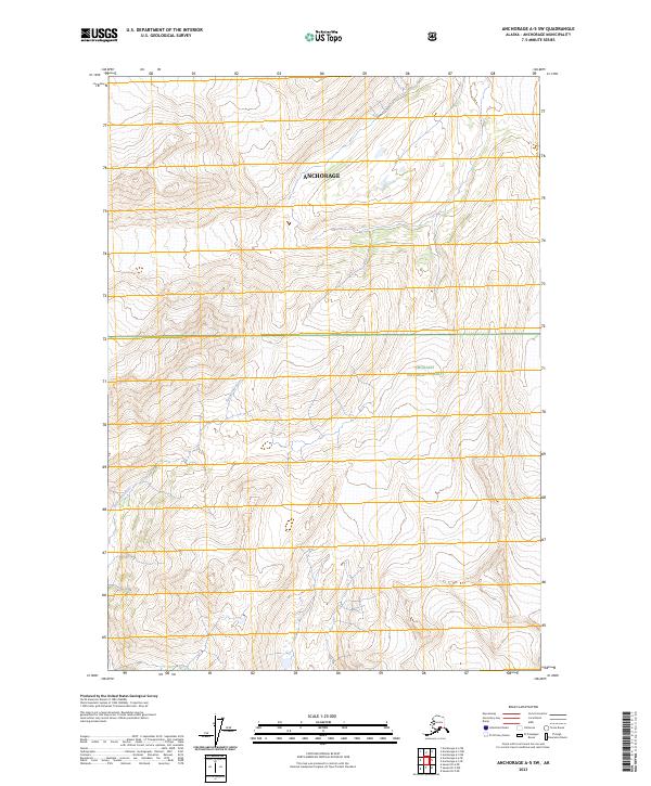
2023 Map of Anchorage A-5 SW
USGS Topo · Published 2023About this map
The Twentymile River winds through the southwestern corner of this landscape, carving a path through high alpine elevations within the Chugach National Forest. This modern 2023 survey by the U.S. Geological Survey details a largely undeveloped portion of the Anchorage municipality, where the terrain is defined by steep vertical gradients and the headwaters of glacial drainage systems. The map depicts a rugged wilderness area where the township boundaries of t12n r3e, t12n r4e, t11n r3e, and t11n r4e meet. It is a vital document for understanding the contemporary topography and hydrography of south-central Alaska, recording the precise path of the river and the complex contouring of the surrounding peaks before they descend toward the Turnagain Arm.
Find a feature on this map
7 named features on this map. Tap any name to fly to it.
Don’t see what you’re looking for? This feature index may not catch every label — zoom into the map to look around manually.
Map Details
Editions of this 2023 Anchorage A-5 SW Map
This is the sole edition of this map. No revisions or reprints were ever made.
Other maps of this area

1951 · Seward
USGS Topo · 1:250,000

1951 · Anchorage
USGS Topo · 1:250,000

1951 · Seward D-5
USGS Topo · 1:63,360

1951 · Seward D-6
USGS Topo · 1:63,360

1952 · Seward D-5
USGS Topo · 1:63,360

1952 · Seward D-6
USGS Topo · 1:63,360

1953 · Seward
USGS Topo · 1:250,000

1959 · Seward
USGS Topo · 1:250,000

1960 · Anchorage A-6
USGS Topo · 1:63,360

1960 · Anchorage A-5
USGS Topo · 1:63,360