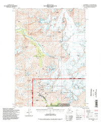
1994 Map of Anchorage A-6
USGS Topo · Published 1998About this map
High-altitude mining and mountaineering history converge along the Crow Pass Trail in this 1990s revision of the Anchorage A-6 quadrangle. The map documents a landscape defined by dramatic topography and industrial extraction, most notably the cluster of gold and mineral claims south of Crow Pass. The presence of the Crow Creek Mine, Girdwood Mine, and the Monarch Mine illustrates the intense prospecting that shaped this portion of the Chugach National Forest and Chugach State Park.
Find a feature on this map
49 named features on this map. Tap any name to fly to it.
Don’t see what you’re looking for? This feature index may not catch every label — zoom into the map to look around manually.
Map Details
Editions of this 1994 Anchorage A-6 Map
This is the sole edition of this map. No revisions or reprints were ever made.
Other maps of this area

1951 · Seward
USGS Topo · 1:250,000

1951 · Anchorage
USGS Topo · 1:250,000

1951 · Seward D-5
USGS Topo · 1:63,360

1951 · Seward D-7
USGS Topo · 1:63,360

1951 · Seward D-6
USGS Topo · 1:63,360

1952 · Seward D-5
USGS Topo · 1:63,360

1952 · Seward D-6
USGS Topo · 1:63,360

1952 · Seward D-7
USGS Topo · 1:63,360

1953 · Seward
USGS Topo · 1:250,000

1959 · Seward
USGS Topo · 1:250,000